The Tantalus Traverse
Slipping through the final weeks of my 30s, recently I’ve spent a fair bit of time considering the past decade, including the many challenges, obstacles, and successes that defined this period of my life. Reflecting on the lowest lows alongside the highest highs, and everything in between, it’s easy to draw parallels between the great challenge of life and climbing. Success requires significant effort in building skills and gaining knowledge, as well as a willingness to take risks; without risk-taking, you never get off the ground.
Matching capabilities and risk taking, pushing yourself towards the next goal or objective, can be a very tenuous bridge, often leading to hard lessons learned along the way. I’ve learned many a hard lesson in climbing, and this really describes my general path through life as well. Progressing skills, taking risks, working hard to accept failures, learning from mistakes, reveling in success.
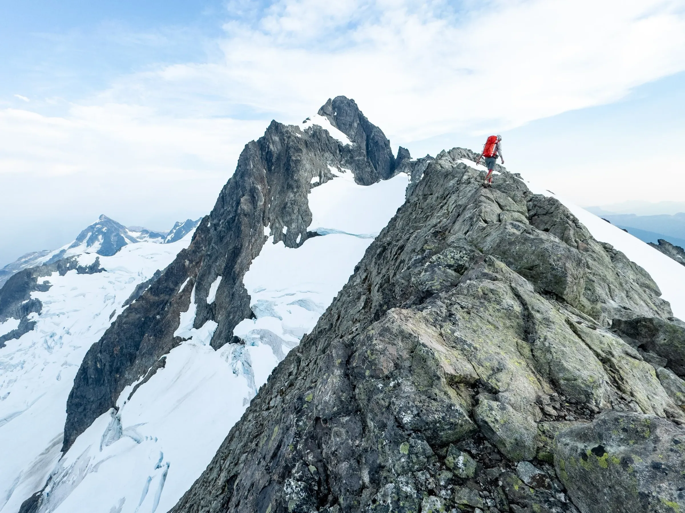
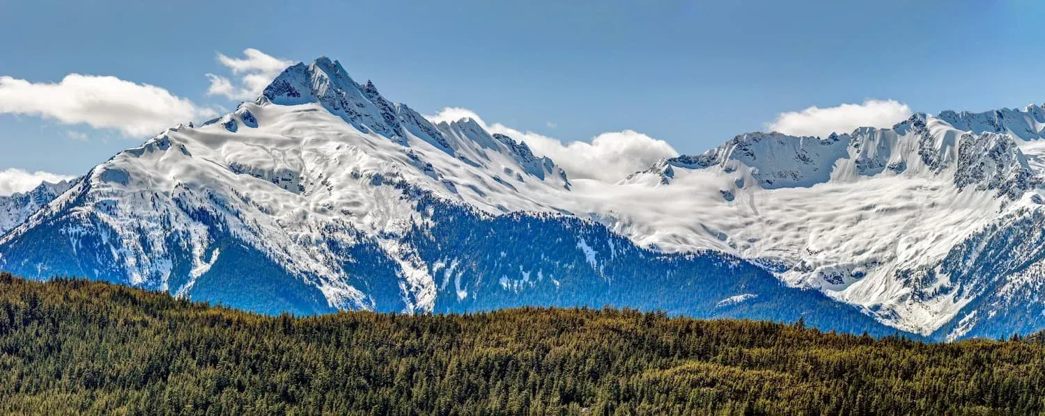
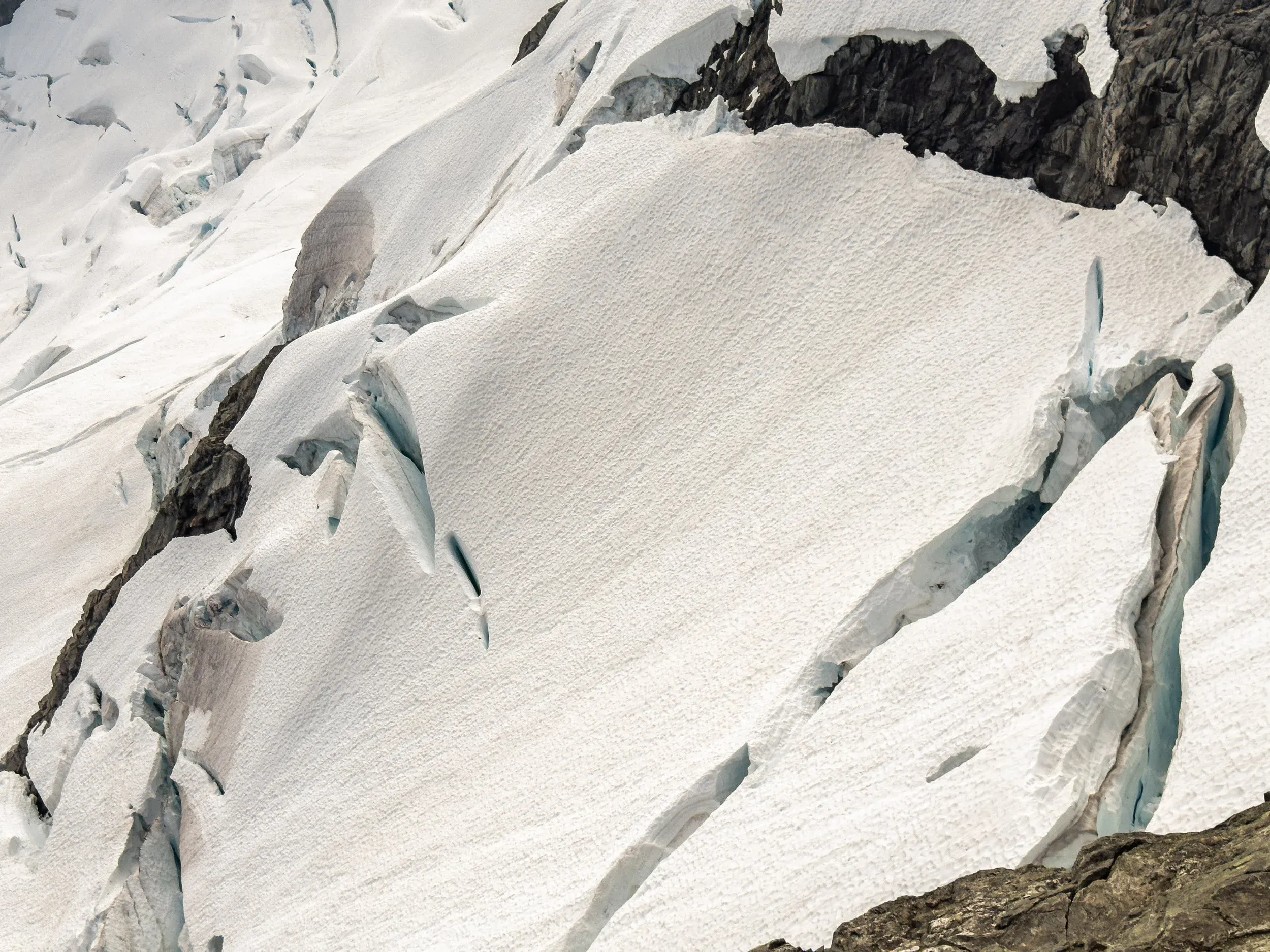
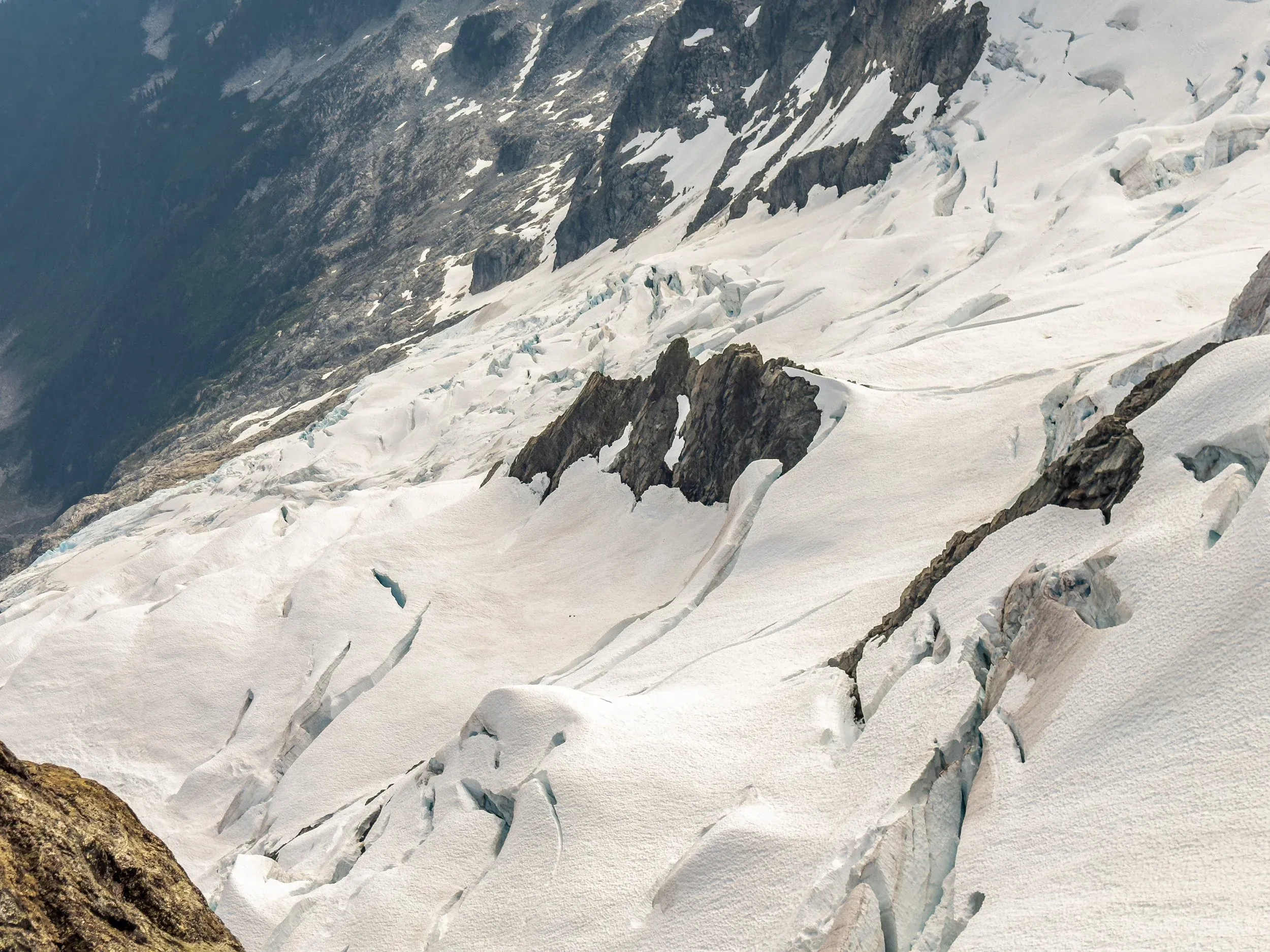
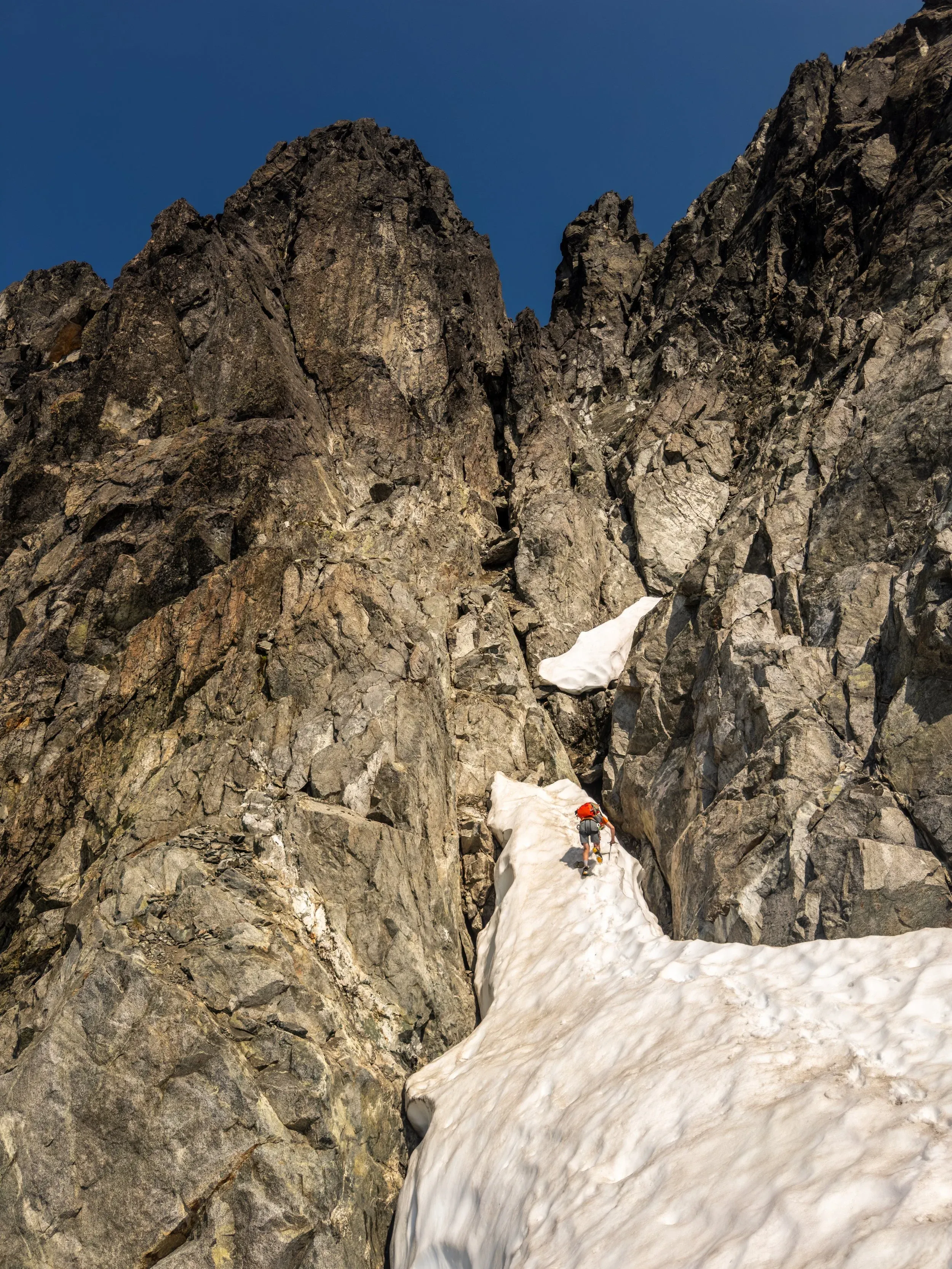
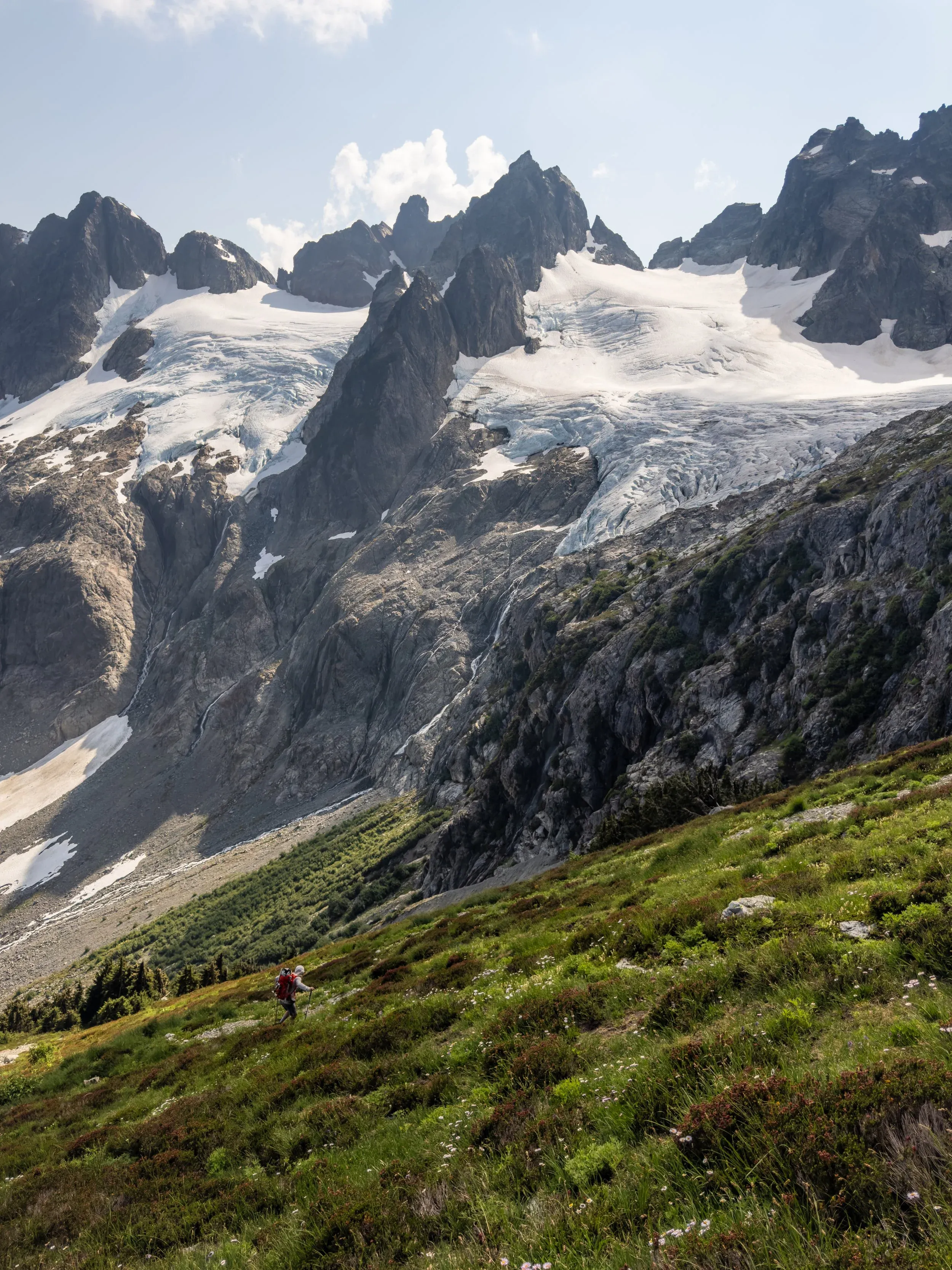
2024 has seen a few major tick list successes, the latest of which was an incredible trip across the Squamish River to complete the Tantalus Traverse. The pinnacle of this southwest BC classic is composed of the incredible ridge line above the wild glaciated terrain of the Rumbling Glacier that every driver to and from Whistler ogles as they drive by and gazes west. The route has numerous technical challenges, requiring extended time spent in exposed terrain, providing a significant mental challenge as well as a physical one. Though the climbing never jumps above what most climbers would consider 4th class (no rope needed for safe travel), steep loose choss, crevassed snow slopes, and exposed-yet-easy moves on quality alpine granite keeps your focus for many hours, as making a mistake at any point would be highly consequential.
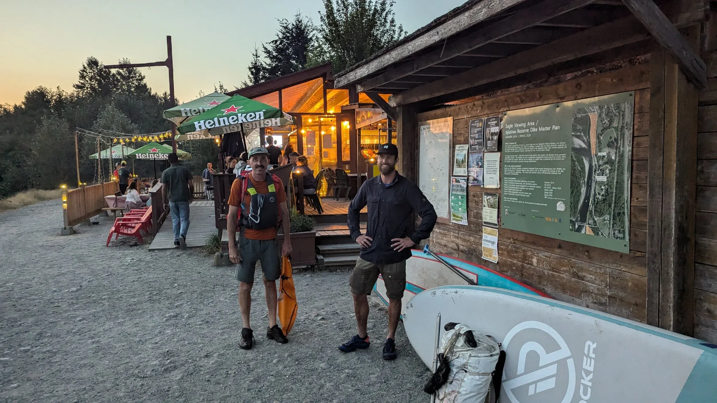
I had a very narrow window to sync up with Jem “Moat Daddy” Morrison to make this happen following a work trip, and we needed an early start to squeeze this into two days. After flight delays, a midnight packing job, and a few hours sleep, I met Jem at 530am at the Watershed pub to drop a vehicle to tackle this new challenge.
The ideal window in the summer comes when the snow has retreated from the upper ridge, but before significant melt increases the size of the many glacial “moats” along the route. This incurs an additional challenge getting on and off the glaciers, as the yawning mouth of the moat opens, wanting to swallow you up into the depths of the mountain.
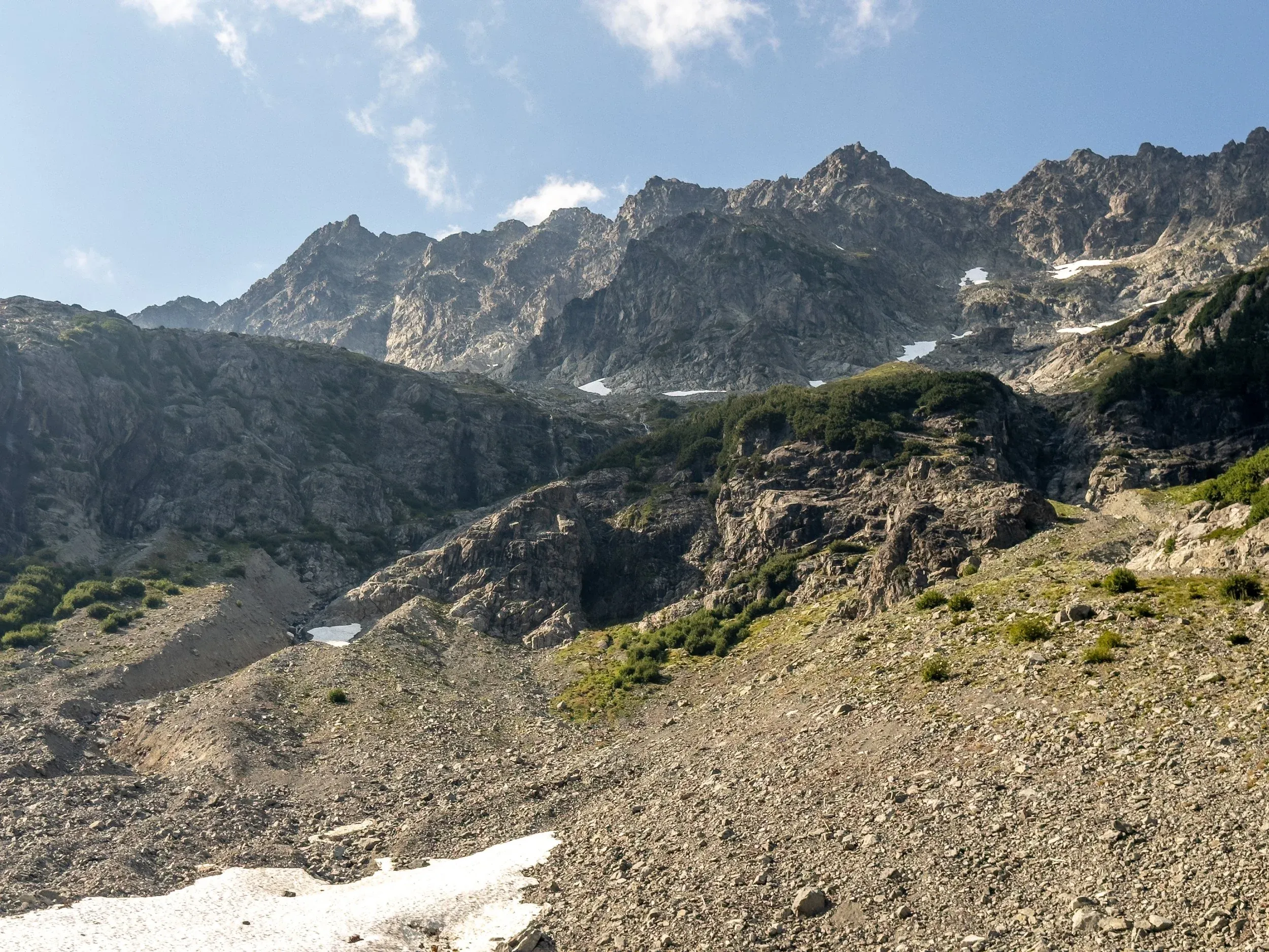
The full traverse typically starts on a trail ascending from the Squamish Valley at Sigurd Creek, and climbs a sizable 2100 meters up and over a col just east of Mount Pelion. Once you leave a marked trail heading up towards Mt. Ossa, the routefinding begins, as there is essentially no markers and minimal sign of a “trail” until you descend towards Lake Lovely Water at the opposite end of the traverse. There seems to be some intention with the complete lack of sparse flagging tape or a cairn markers on this reasonably well utilized route, as these beacons are a controversial practice counter to the hardcore “leave no trace” mentality, with the expectation being that parties should be capable of route finding on their own.
Jem had done the route previously, and with that knowledge and the magic of modern GPS phone maps, we did not have any issues on our journey.
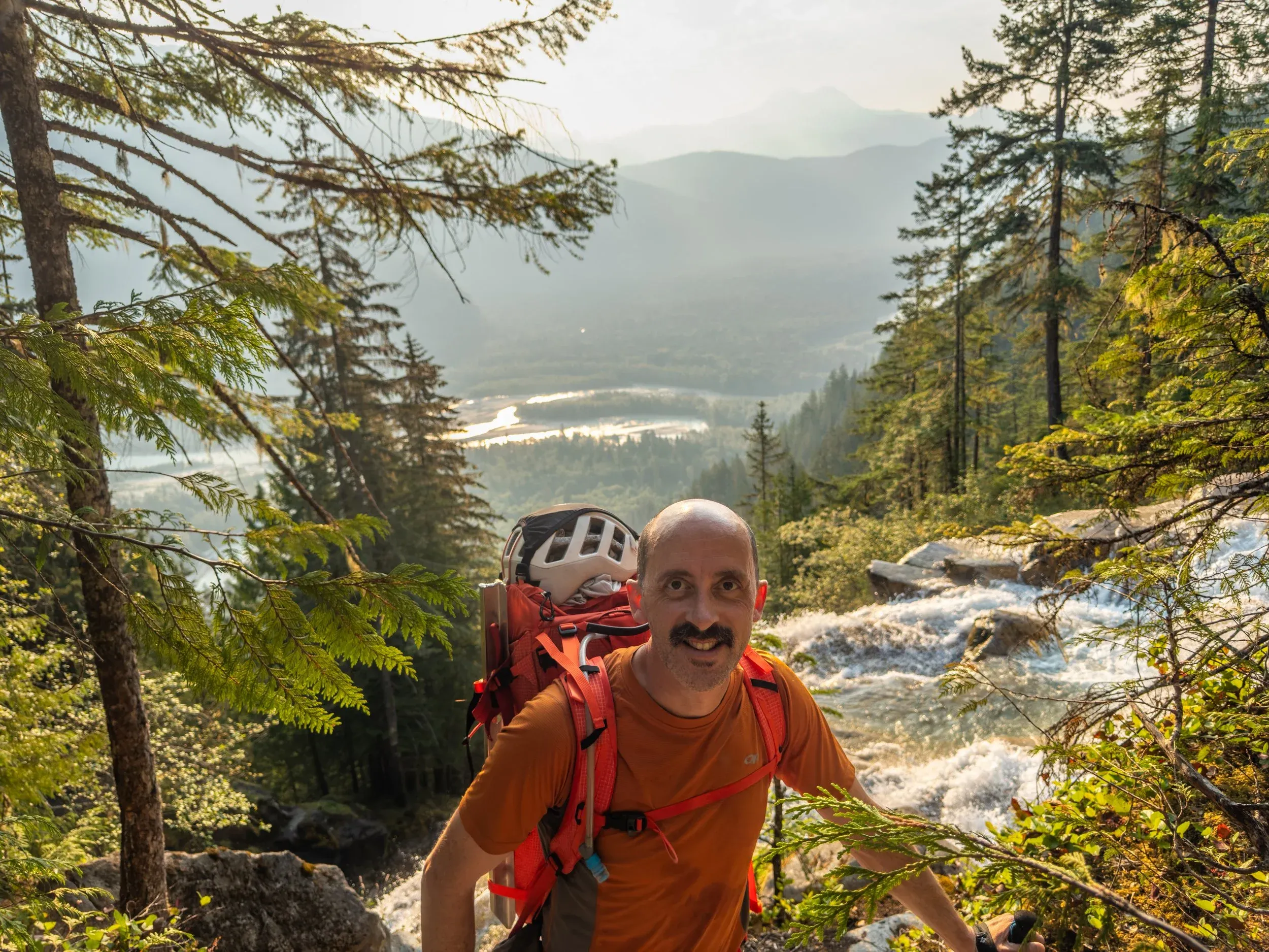
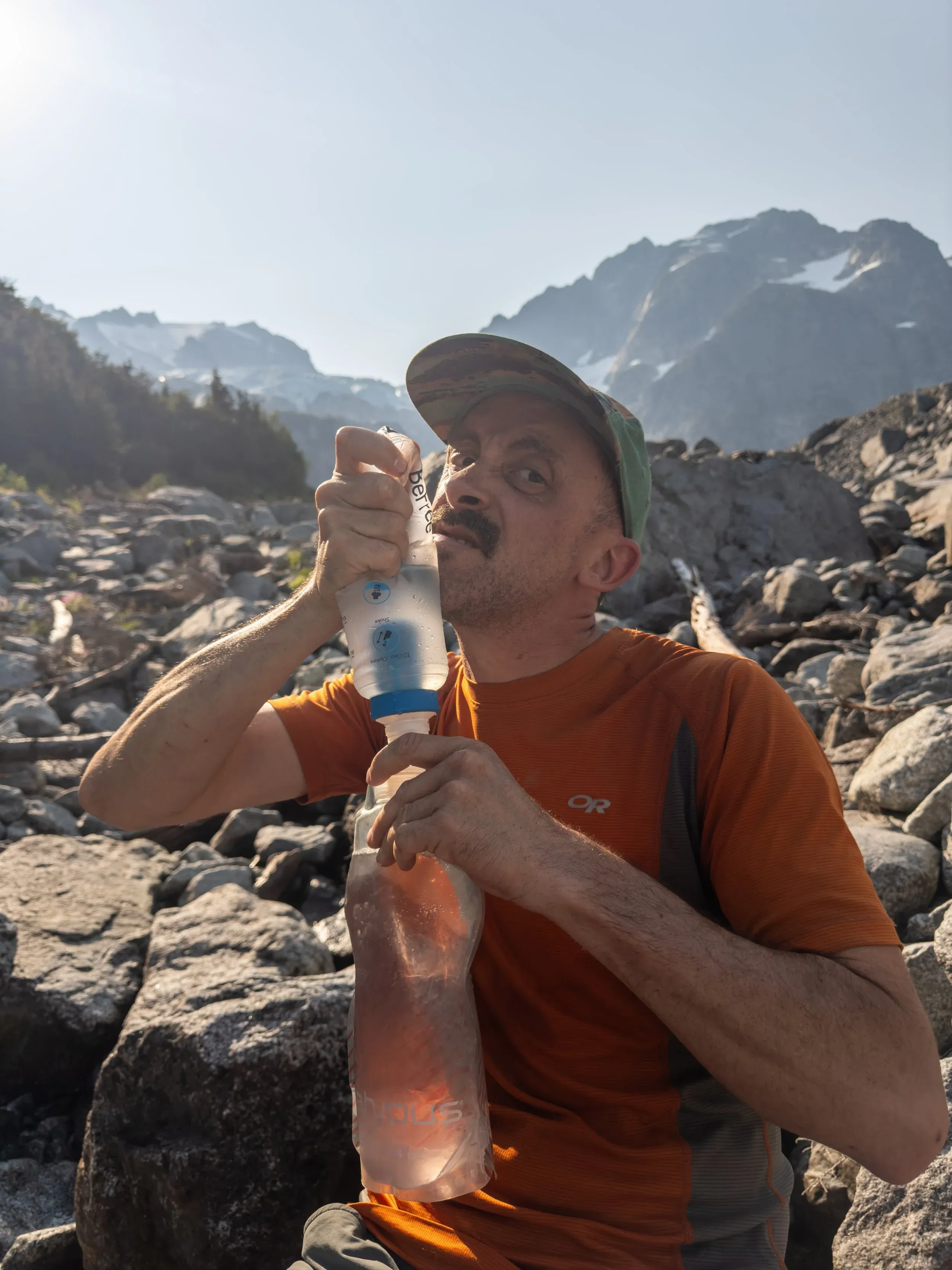
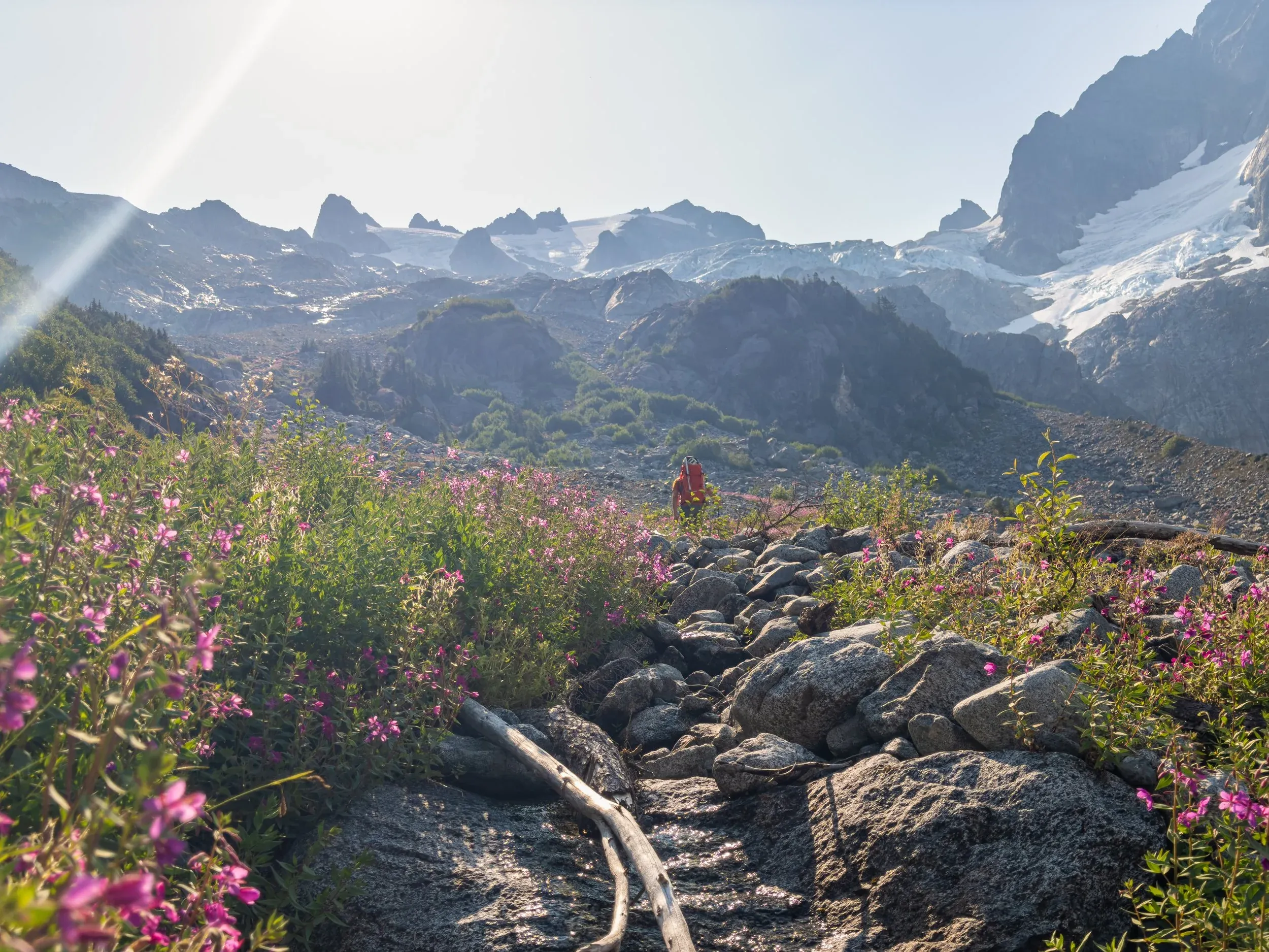
For gear, we tried to keep things as light as possible for a basic overnight, and so the tent was left at home in favor of a minimal bivy setup with sleeping bag, pad, and a small tarp. Climbing gear included 4 mid-sized BD Camelots, standard climbing setup of a harness, belay device, double length alpine slings, a Petzl microtraxion for recovery, and an unneeded ice screw and snow picket. A small stove for cooking a basic meal and melting snow, and other typical essentials.
The equipment fail of the trip was a spillover from an awesome trip I did with Mary the week before up in the Tolkien group, on a shiny new pair of ArcTeryx Vertex shoes, which on paper and in practice seem to be exactly the shoe I’ve been looking for as a mix of a hiker and a light climbing capable “approach shoe”, but unfortunately gave me savage blisters which made a lot of this trip super painful…
Based on the objective, and the work required to keep up with Jem, I opted to leave the bigger camera at home, so these are all iPhone shots, and I’m pretty happy with the results. Low light capabilities and a telephoto option were missed, but overall I think the quality is acceptable considering it is no extra weight!
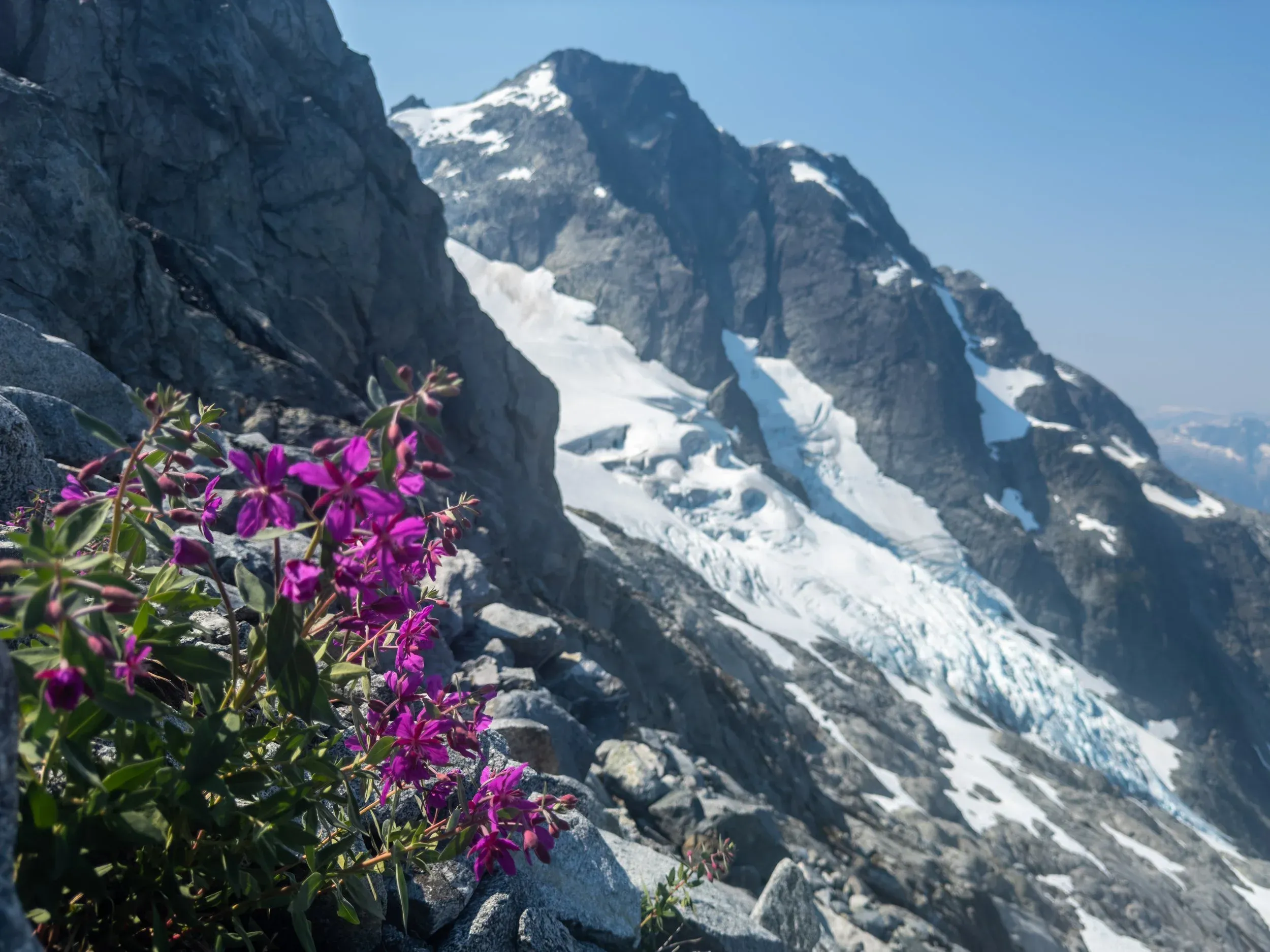
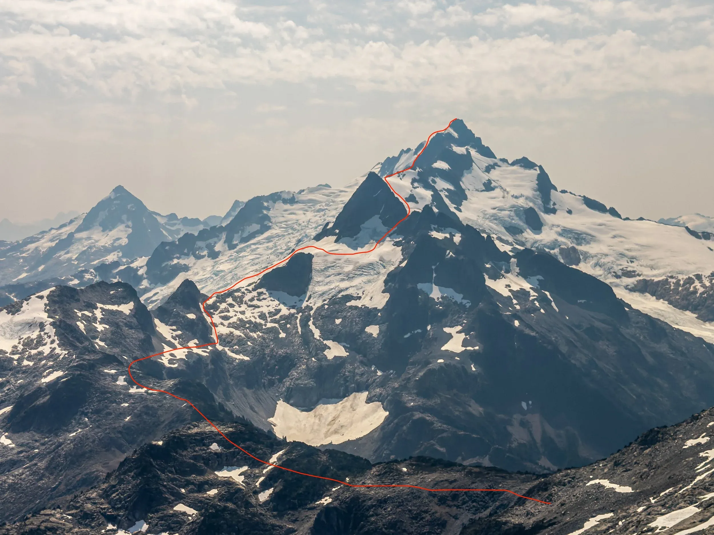
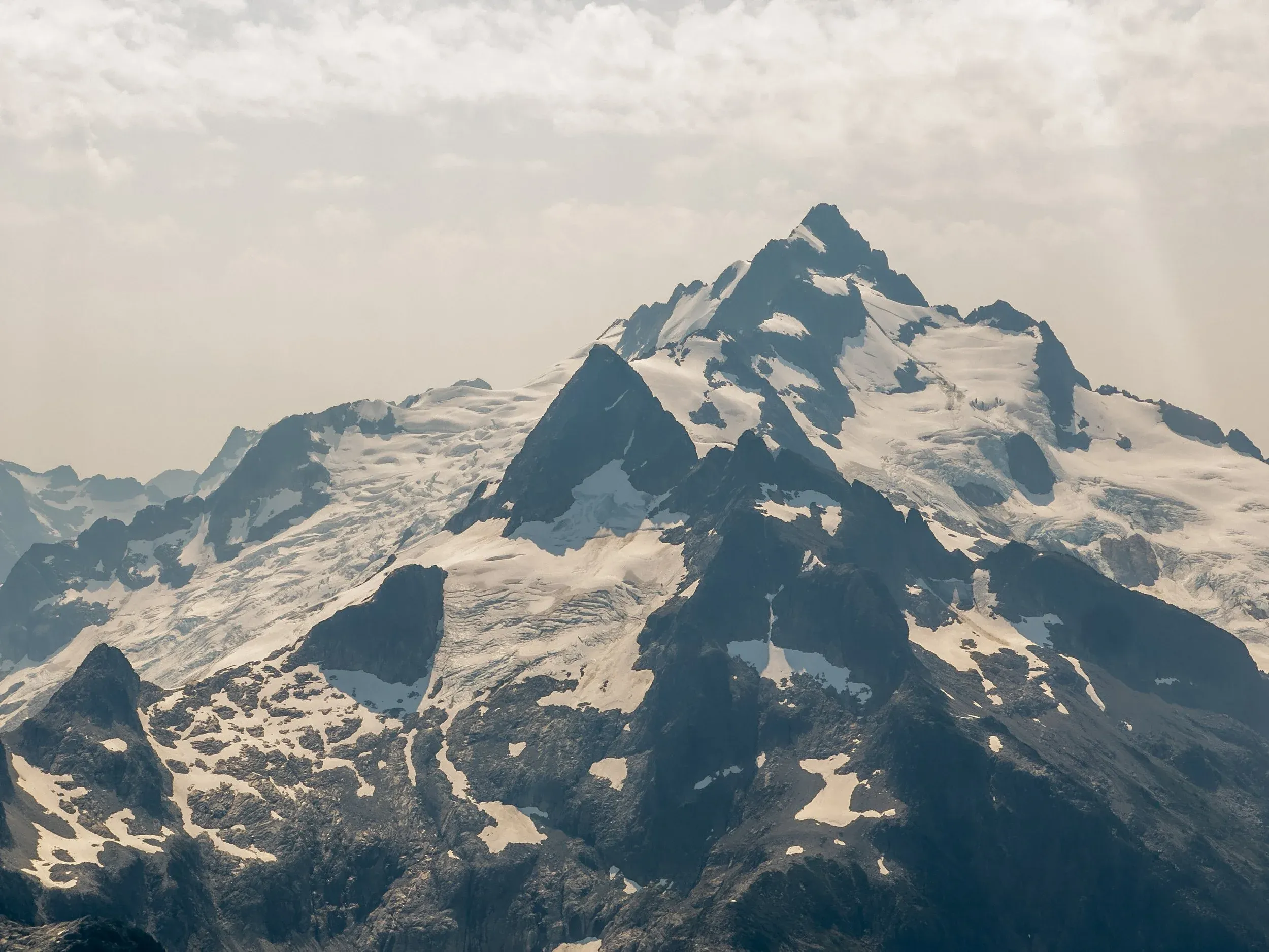
After grinding hard for 3 hours up from essentially sea level to 2100 metres at the Pelion Col, you are rewarded with a massive stoke boost taking in the breathtaking view of the route ahead. From a distance, the gnar level definitely looks high! Nerves and excitement start to pulse deeply through the veins, and a jolt of energy washes over tired legs.
This is why we’re here!
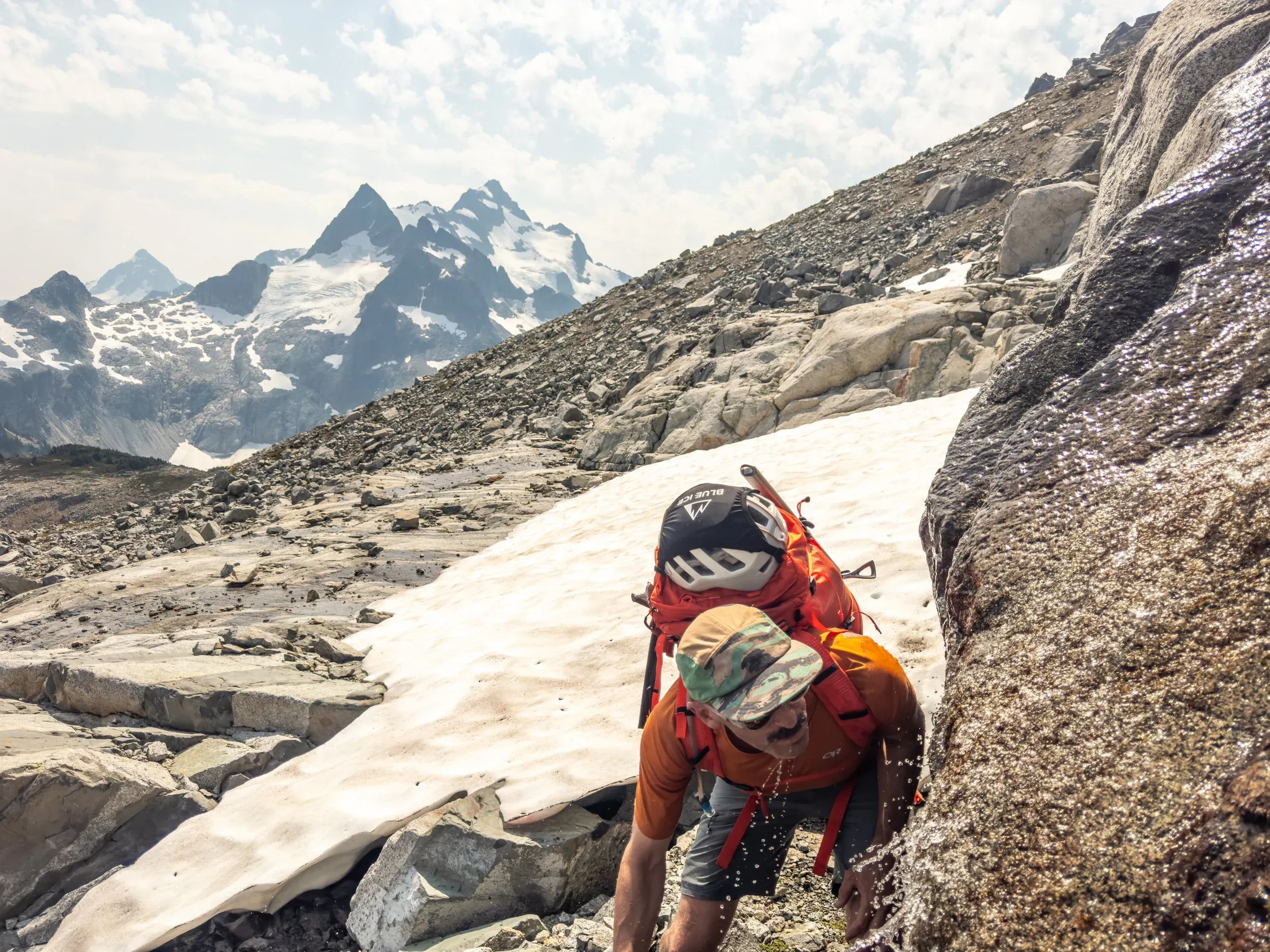
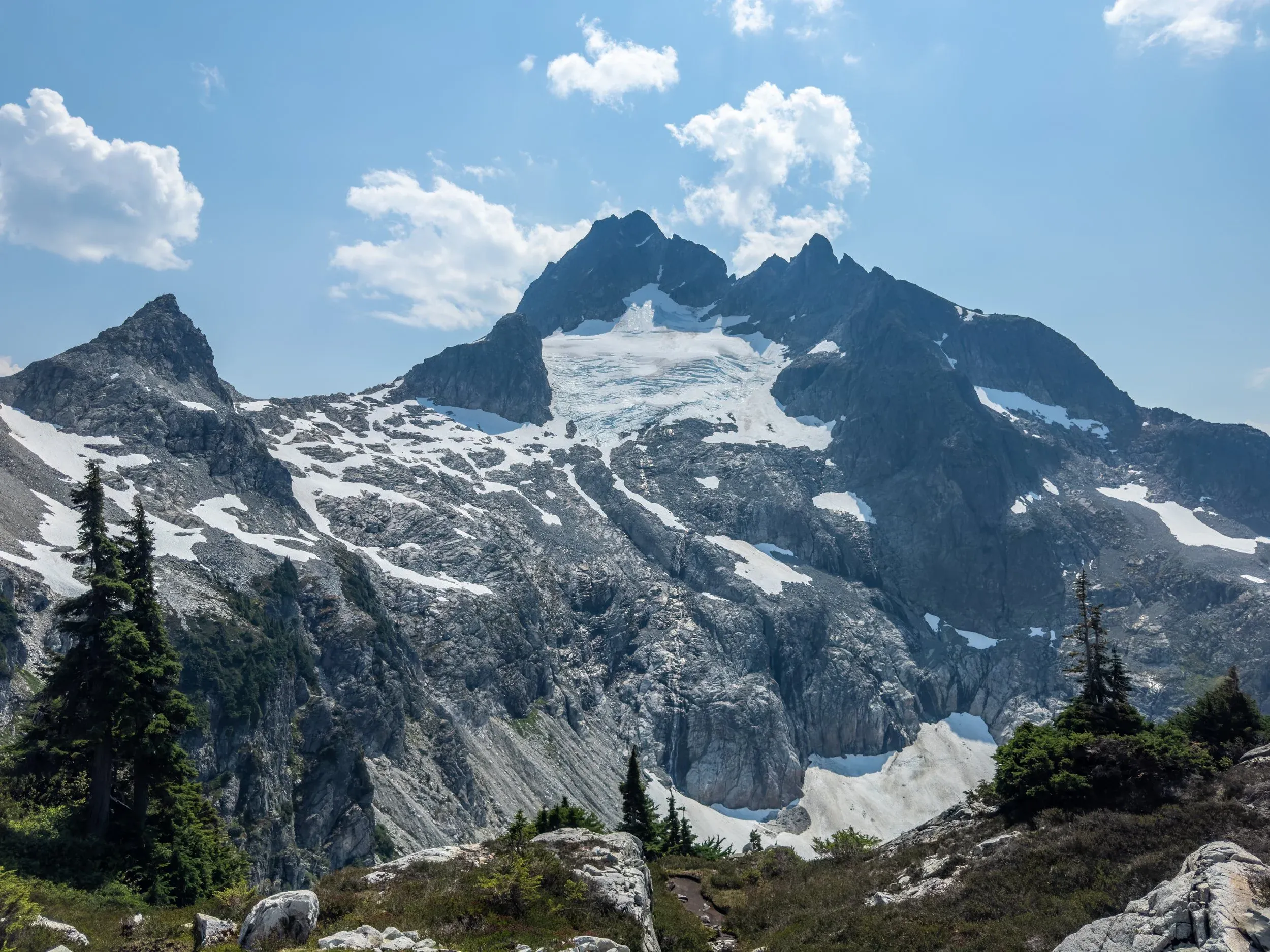
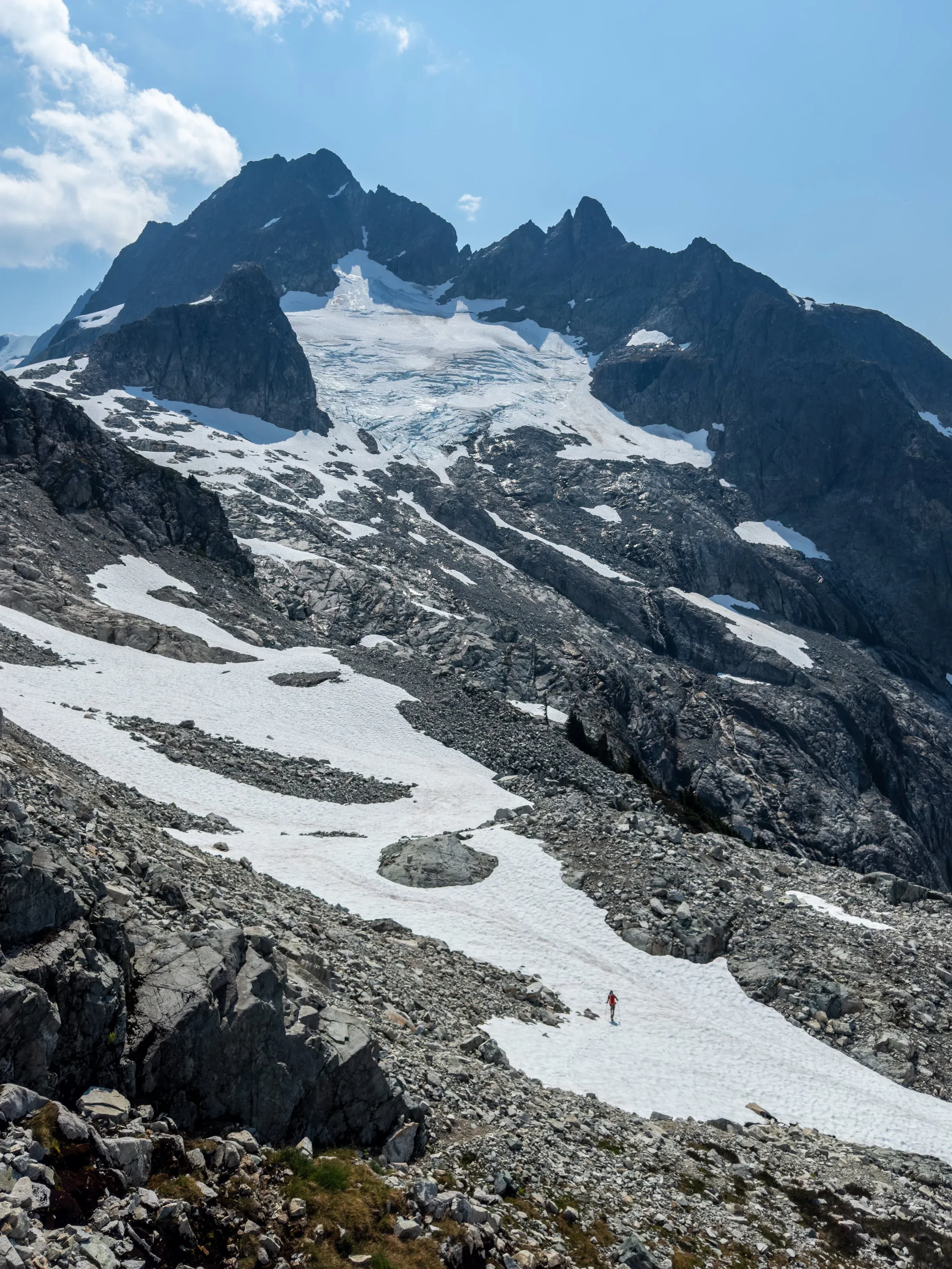
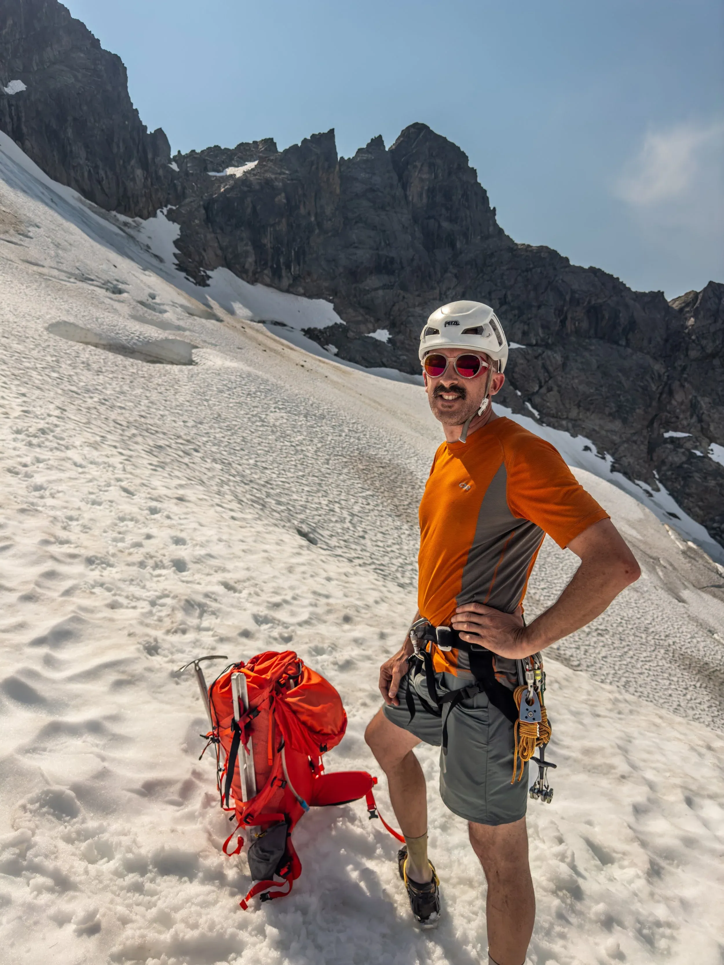
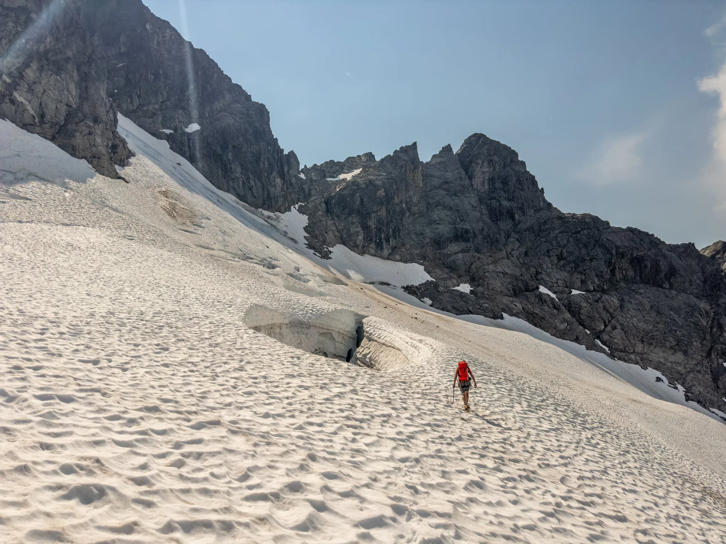
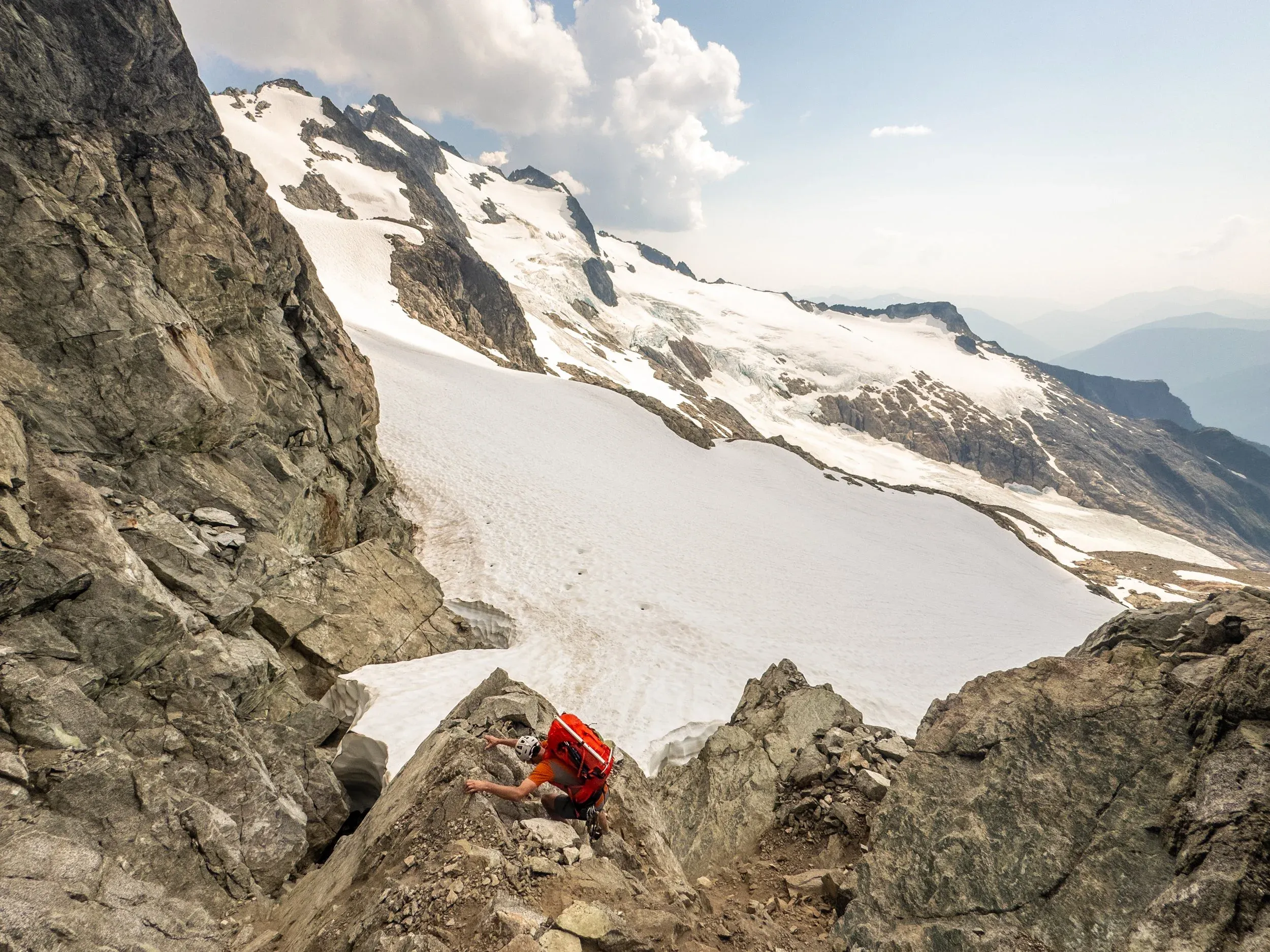
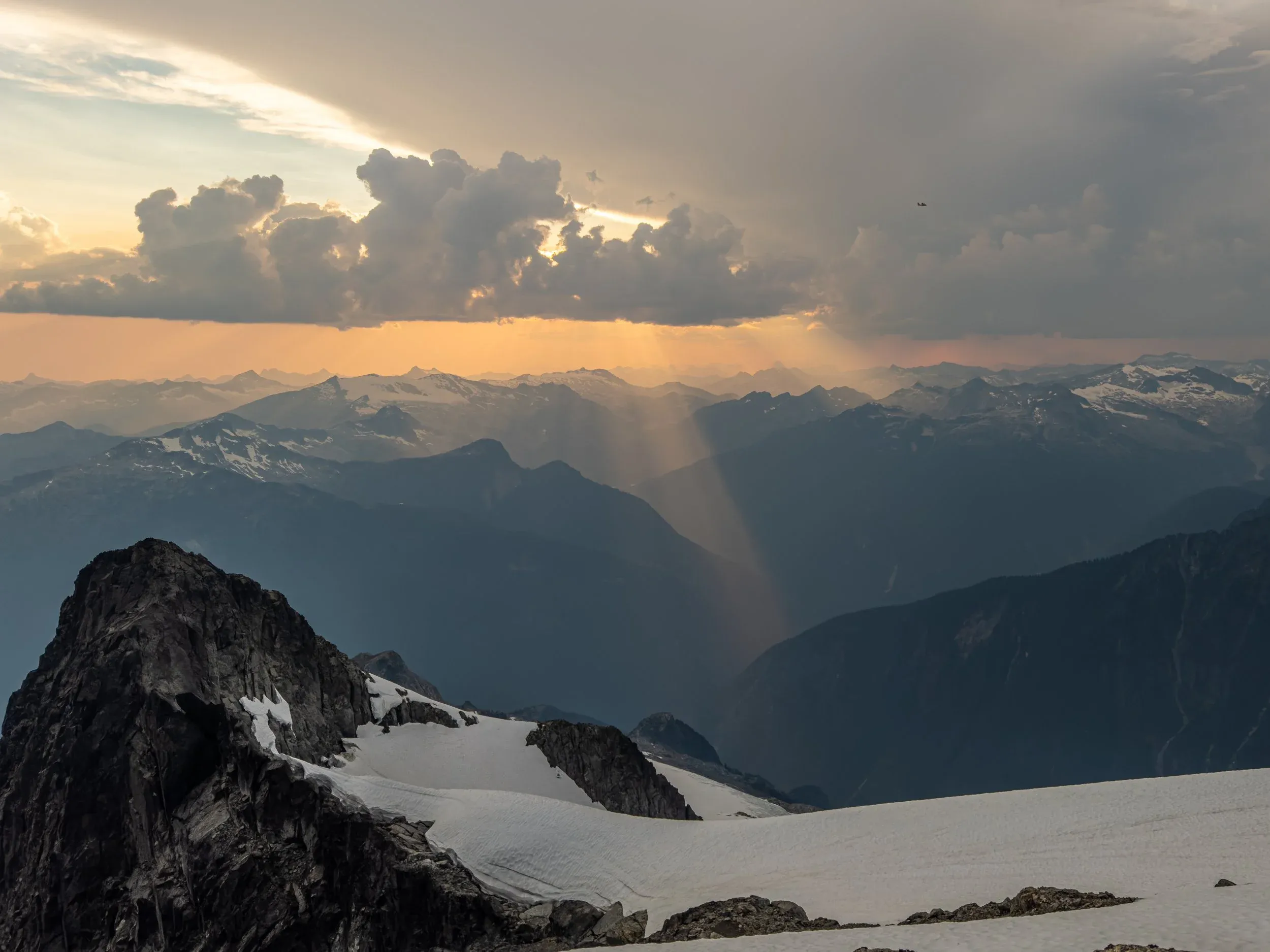
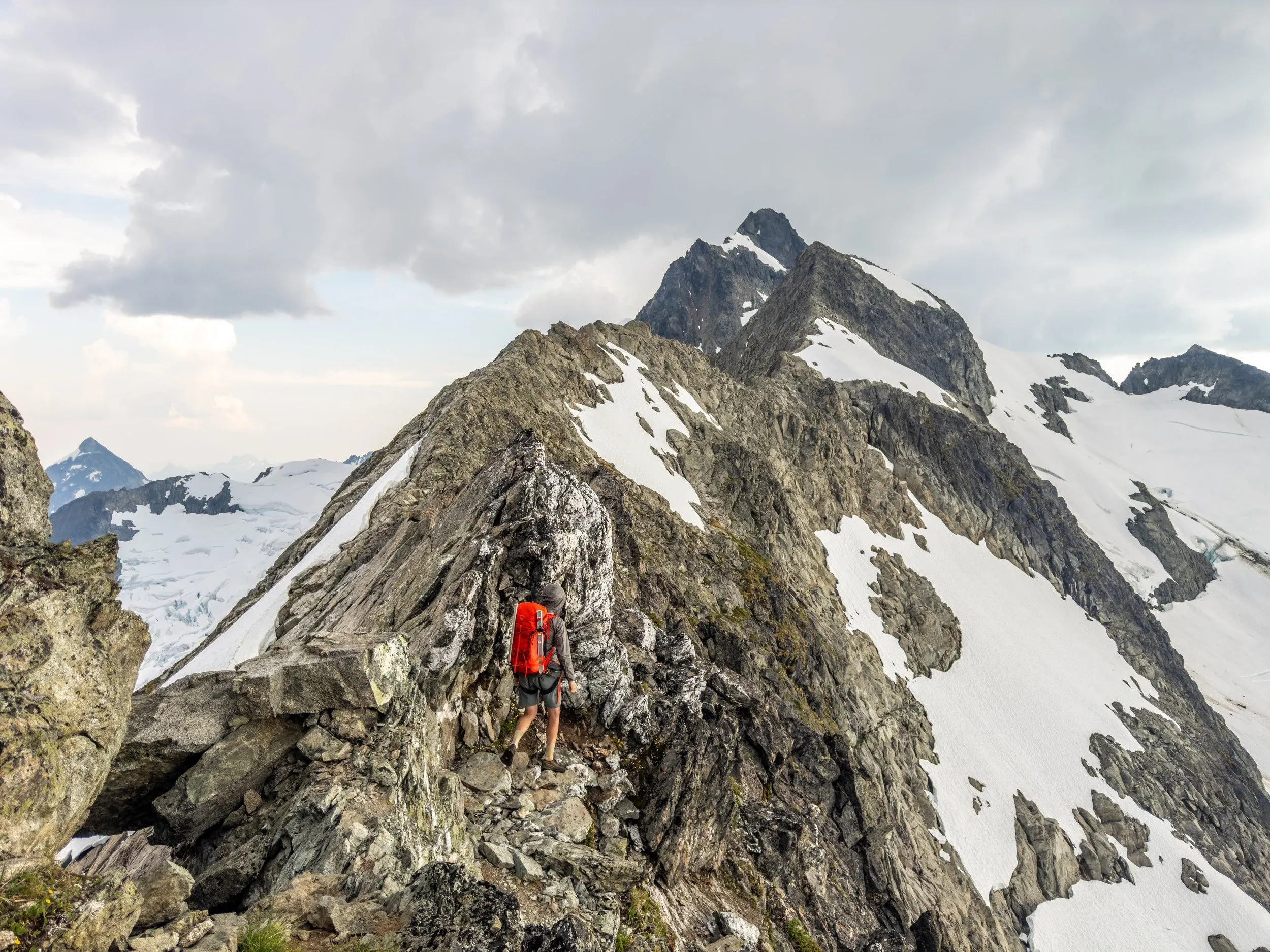
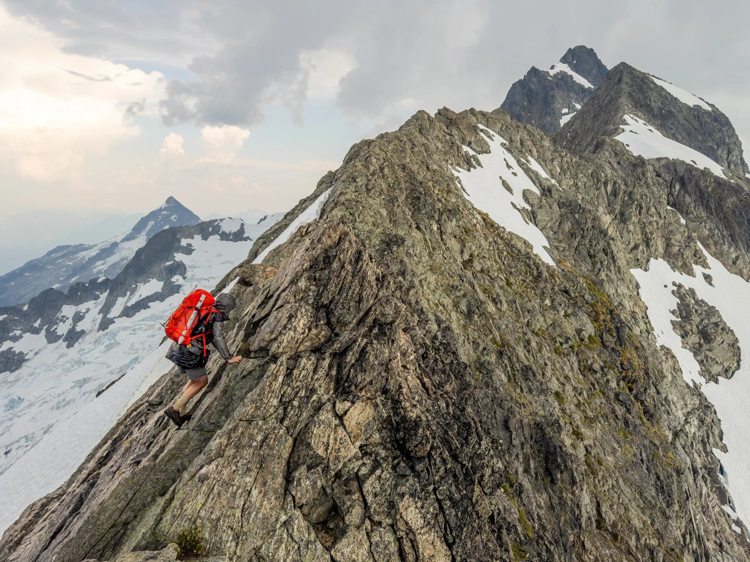
As soon as we started moving across the ridge, I noticed a strange sound coming from my backpack. After a few moments of adjusting my pack to determine its source, I realized it was an audible “buzz” from my ice axe when facing upright! Above us was some light clouds, with a few thunderclouds looming in the distance, and so the electrostatic force in the air must have been enough to cause a reaction in the exposed metal of the axe. Jem confirmed the same, and so we very quickly retreated to better cover at a rocky pinnacle at the start of the ridge.
We assessed the weather situation, and it was clear that we were fortunate to be in a good spot with no significant weather moving in our direction. The forecast showed a clearing trend, so it felt like this was a “wait and see” situation, and be ready to move if conditions worsened.
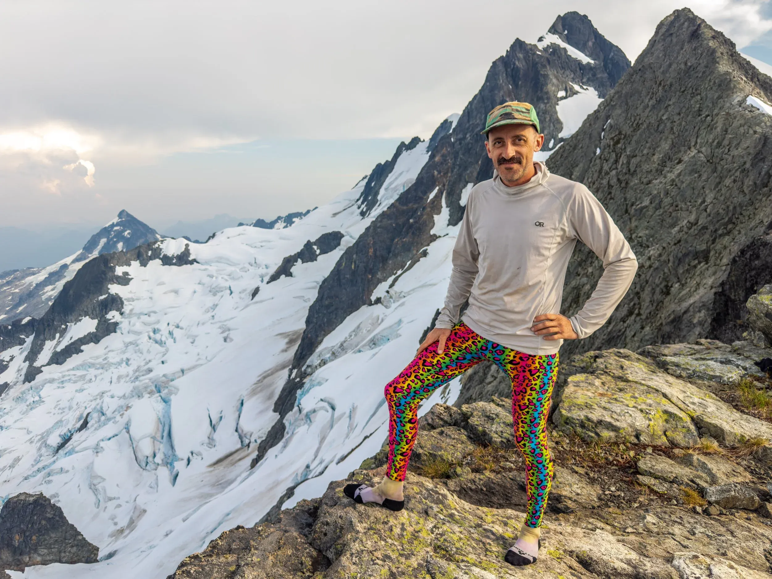
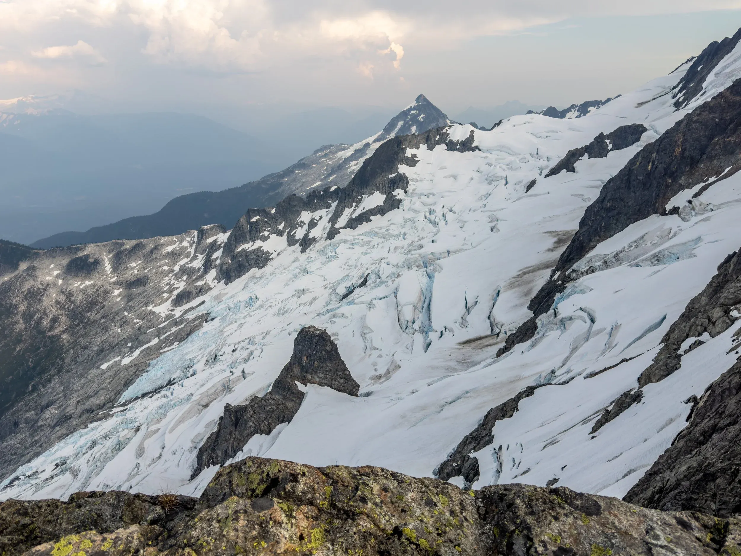
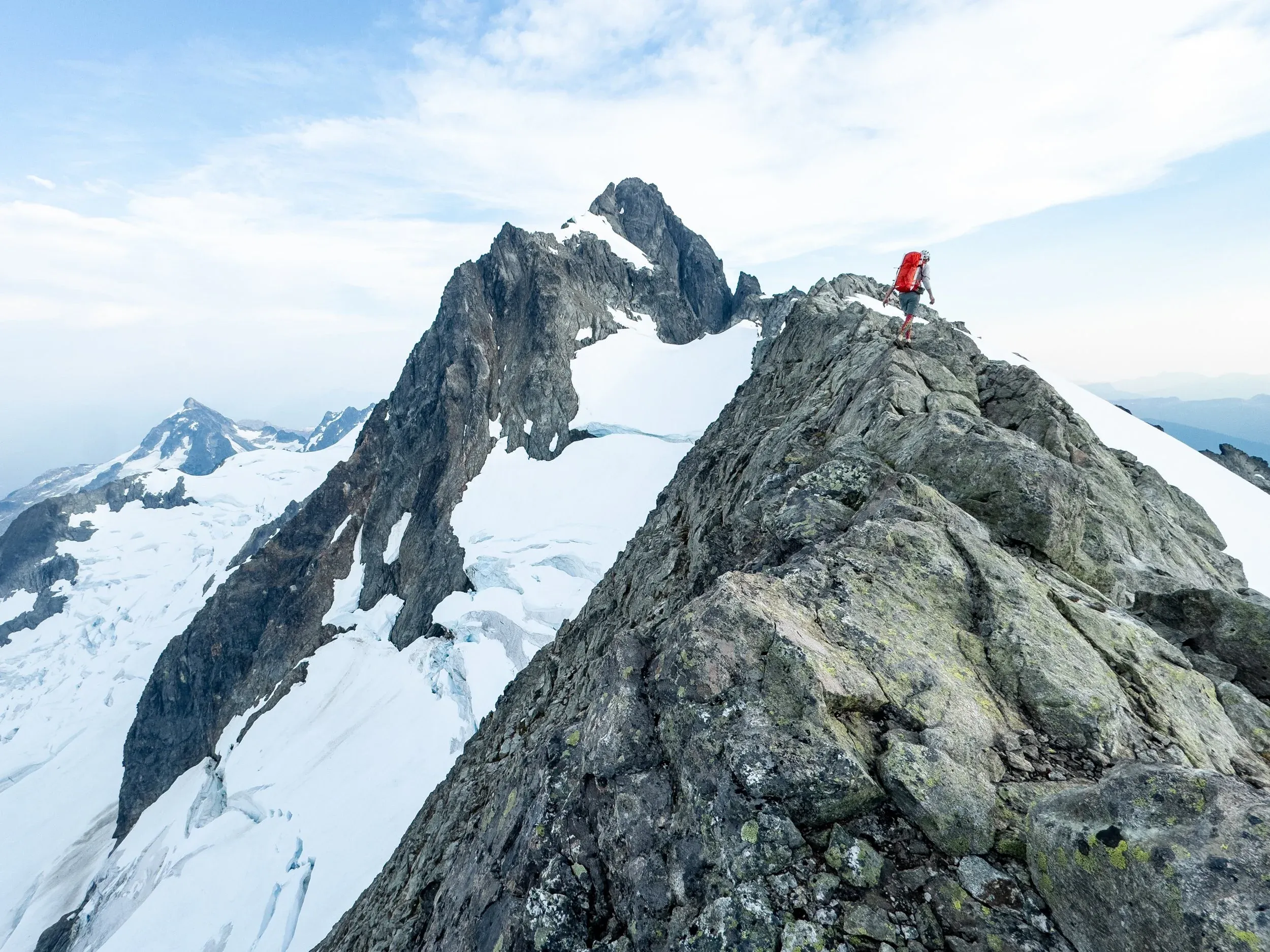
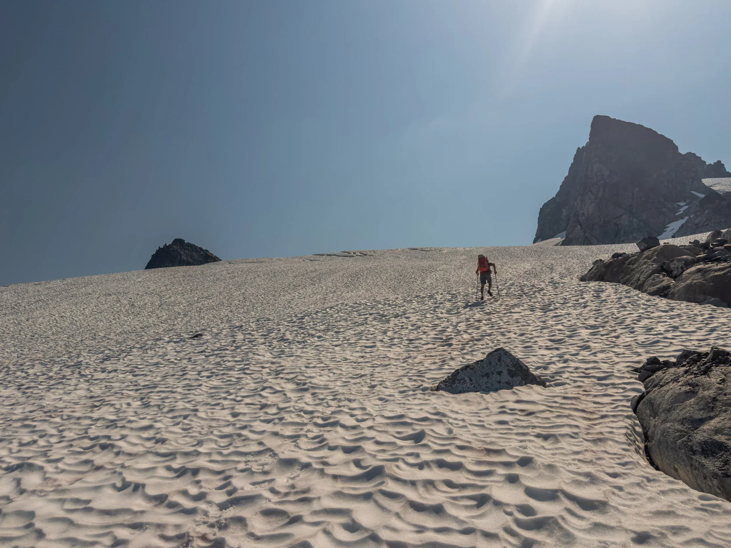
Fortunately, our assessment of the forecast and the moving weather was correct, and so once the weather cleared after an hour of rest around 5pm, we decided to keep moving on to get as far on the ridge as possible today. With the questionable weather and the delay, our stretch goal to summit and navigate the challenging descent of Tantalus on Day 1 would have pushed the safety margins too close..
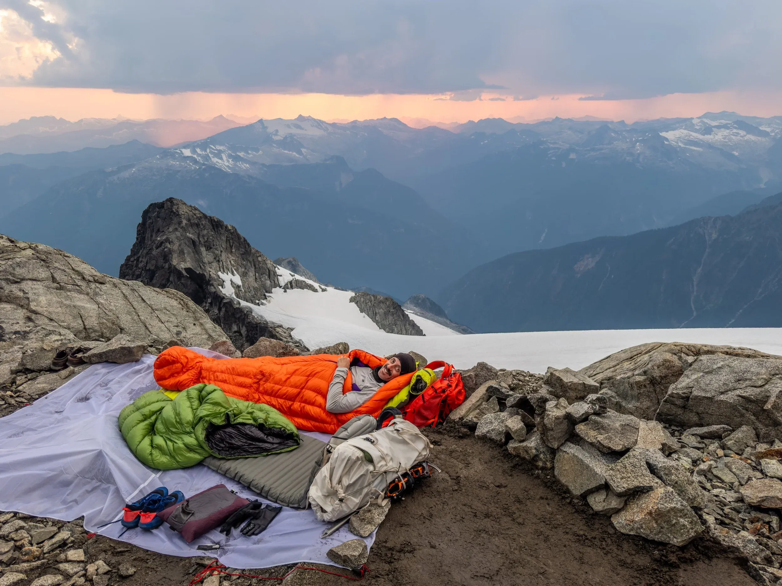
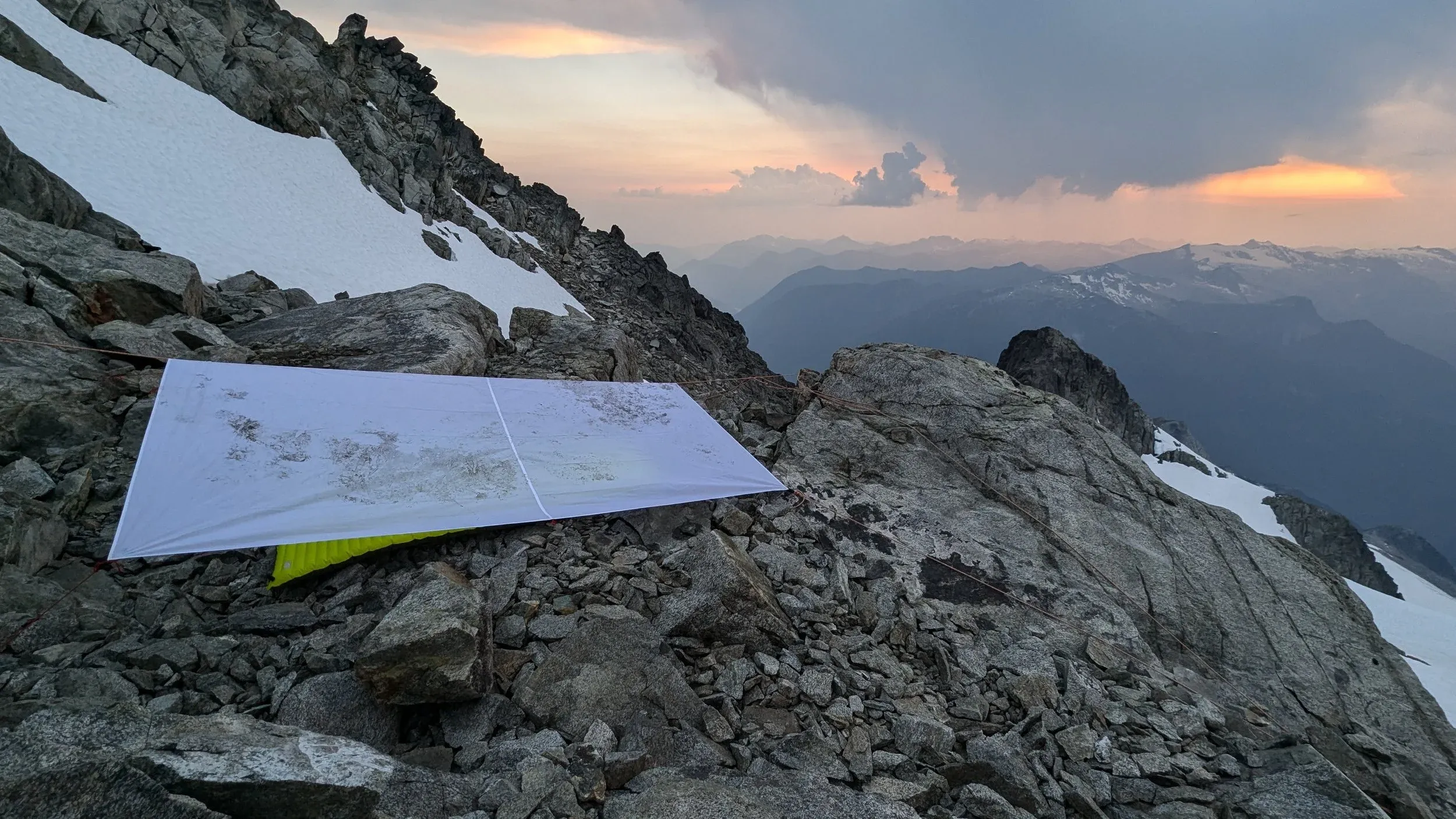
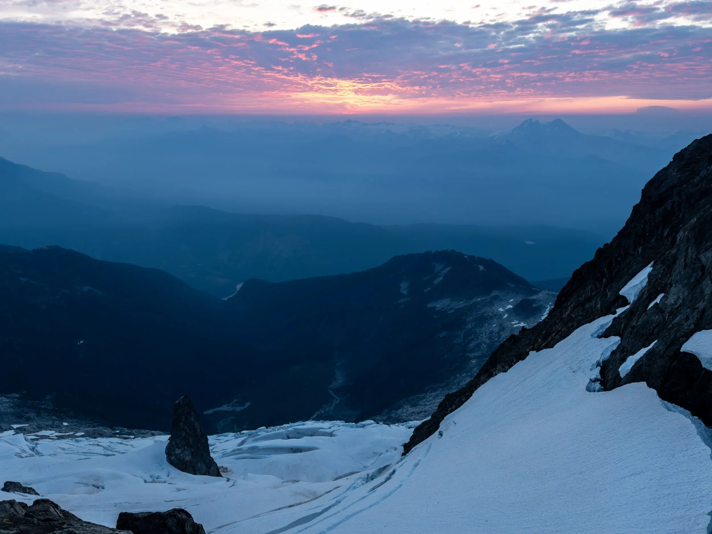
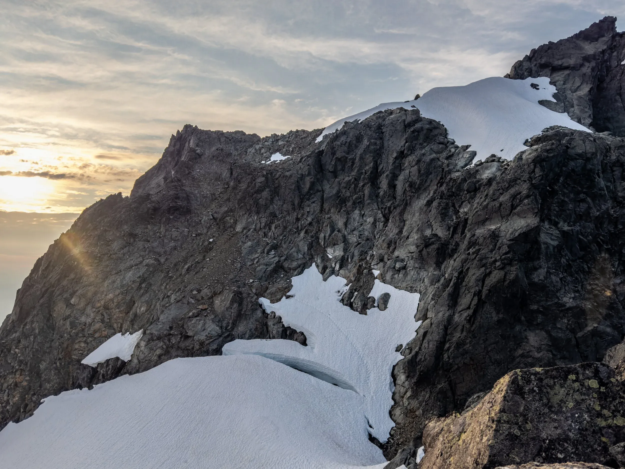
The next morning we were immediately met with our next challenge from our camp, with two options available:
-
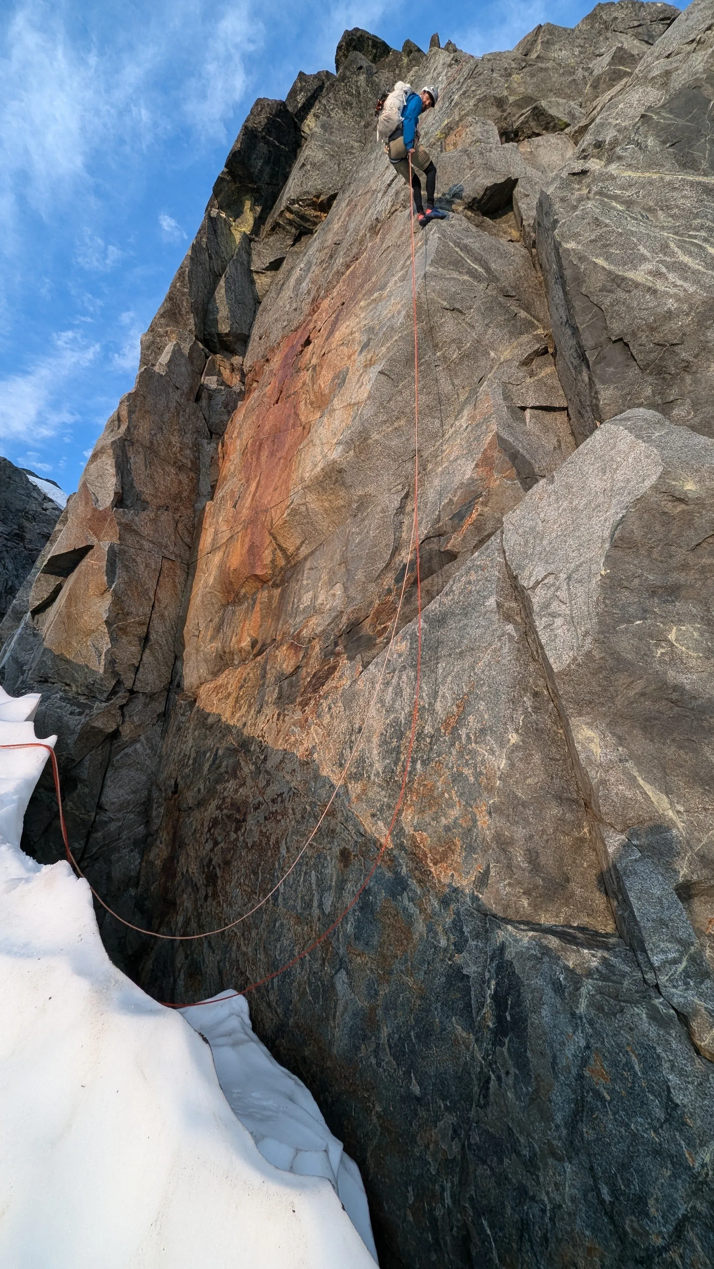
Walk down lower on the glacier and make an awkward snow and ice mantle above a 10 metre deep moat
-
Find the reported rappel anchors and descend to a section where the obvious existing tracks on the glacier meet a much easier climb onto the snow
#1 looked super sketchy, while rappels take time and have their own dangers. In the end we opted for option #2 which was the safer bet, but cost us a fair bit of time.
Following the rappel, we kept the rope on, attached our crampons, pulled out our ice axes, and scrambled onto the snow before untying. Then a straightforward but exposed traverse across a bridged bergschrund got us to a steep slope of rock which thankfully was significantly less loose and terrible than it looked.
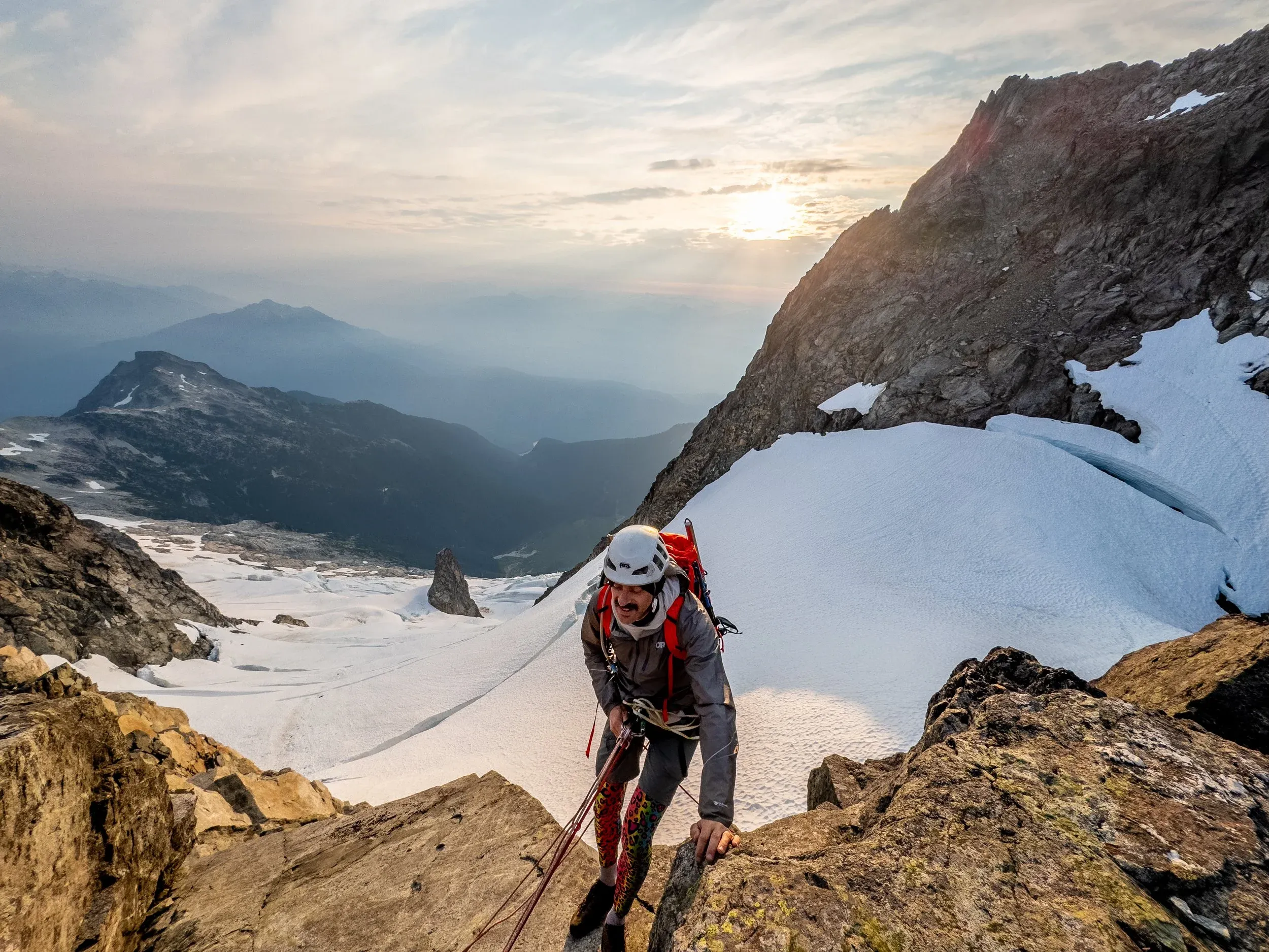
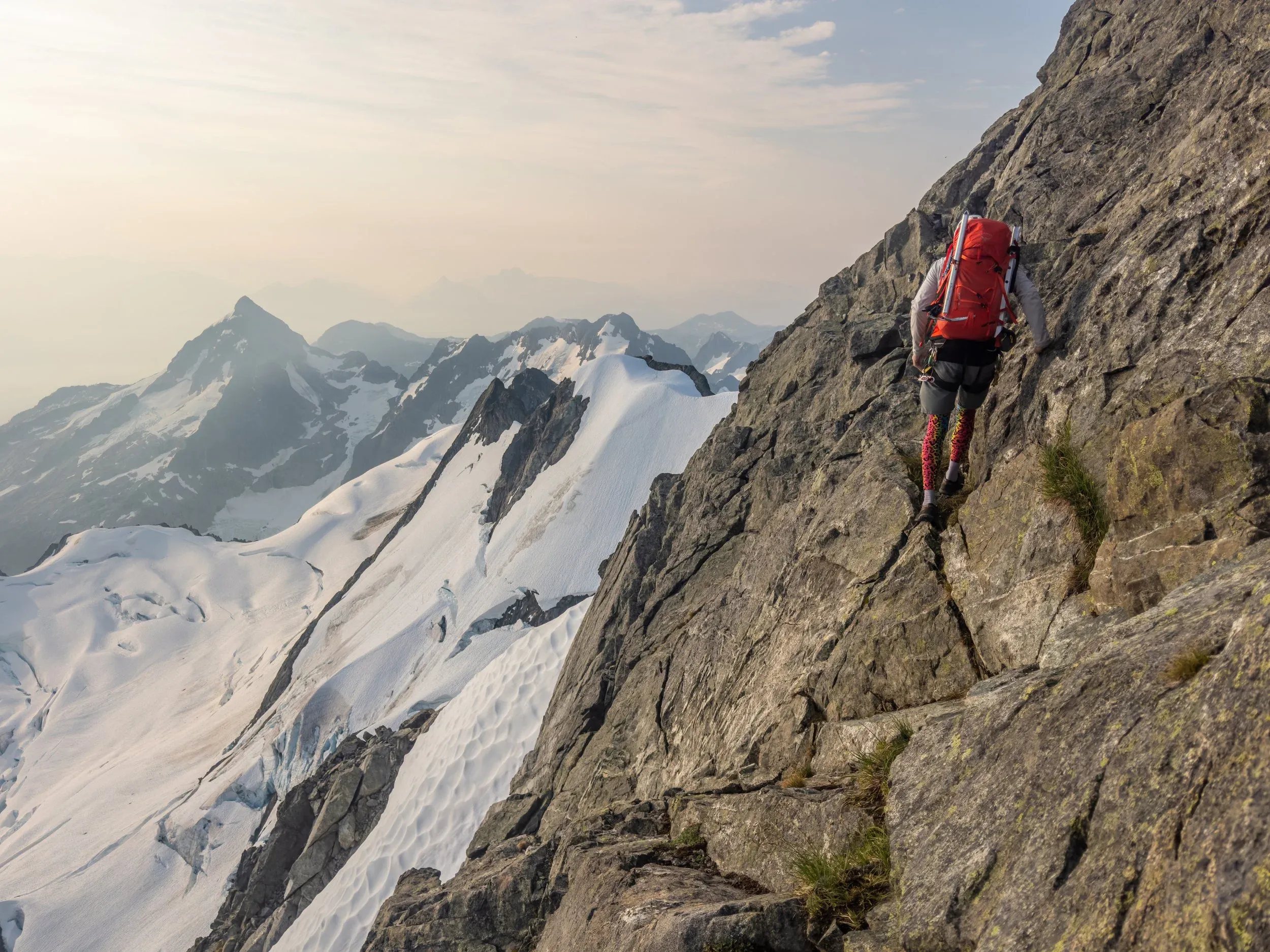
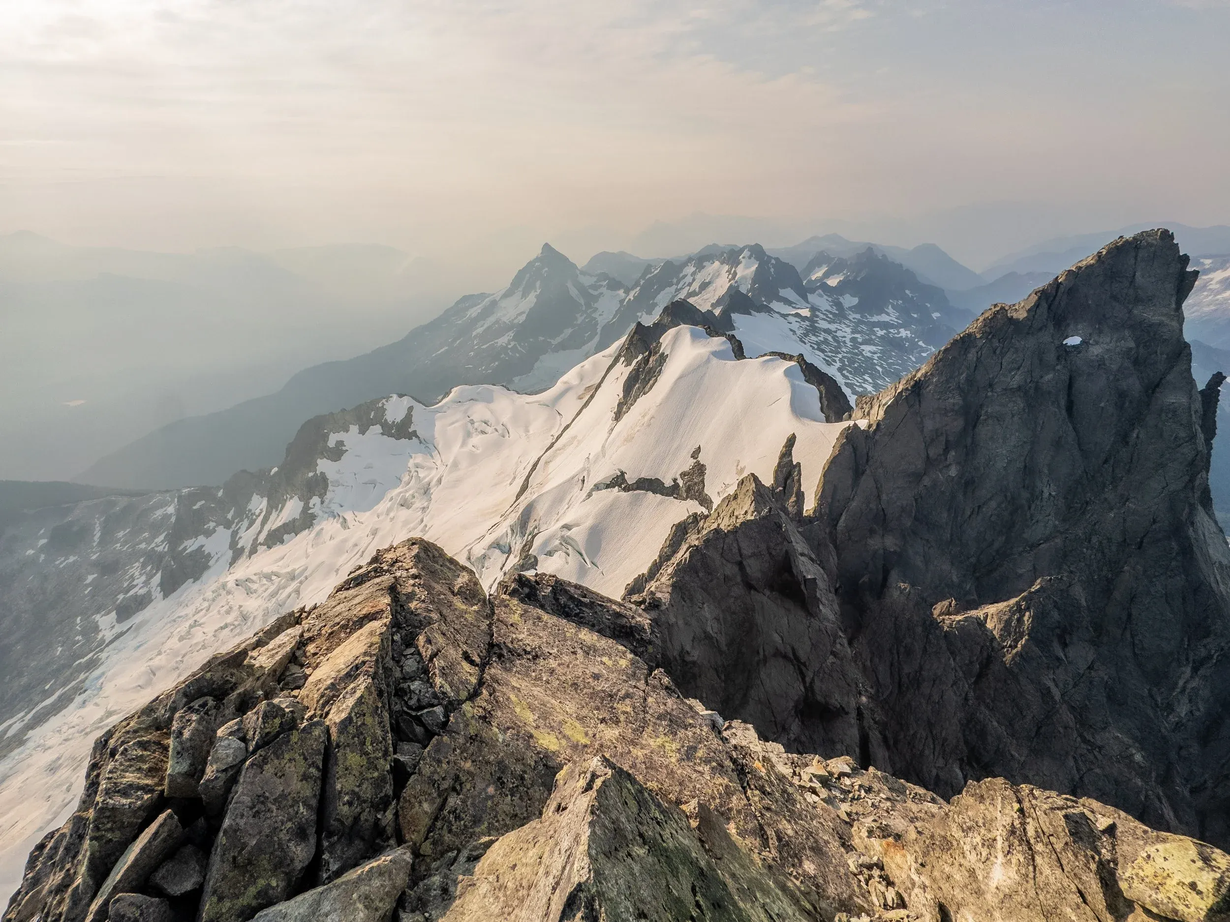
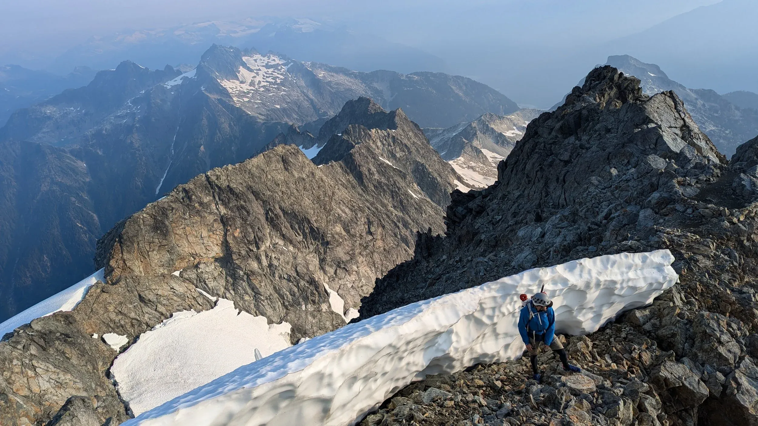
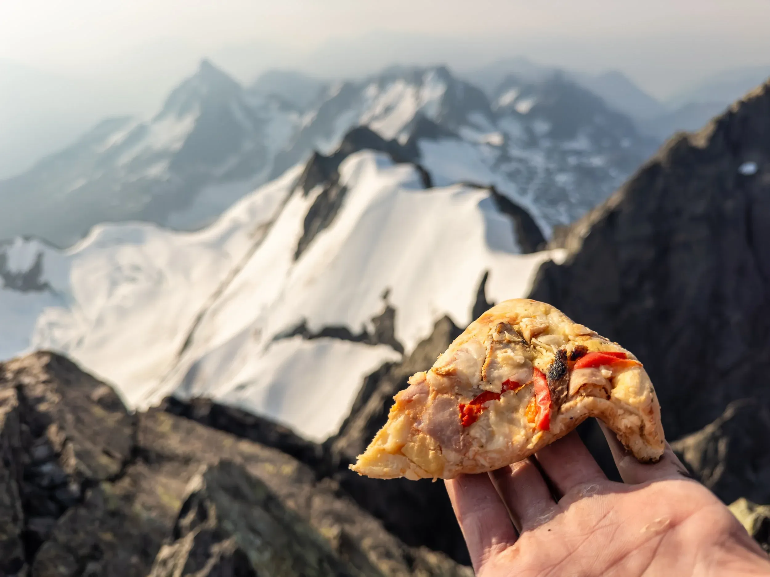
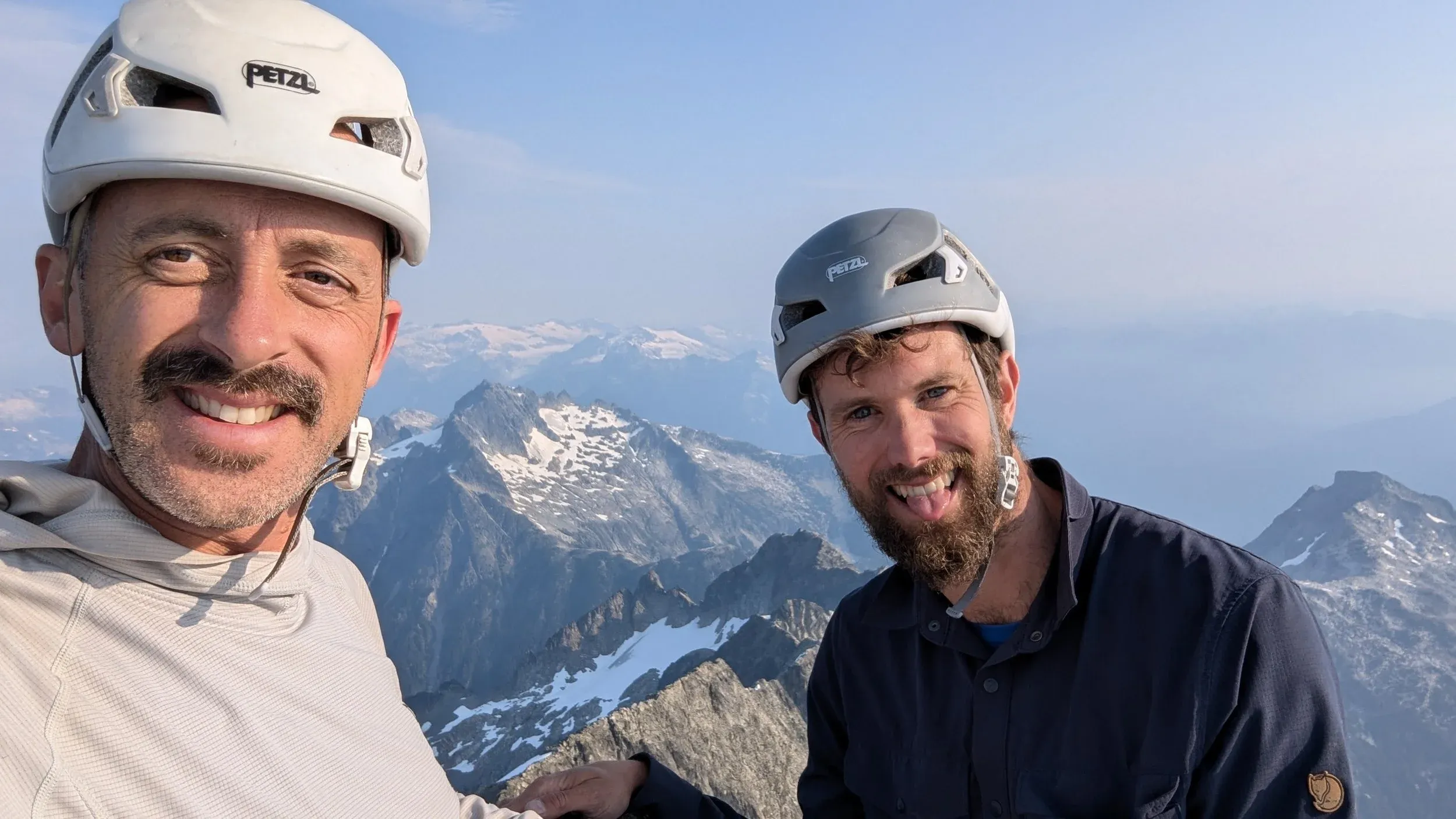
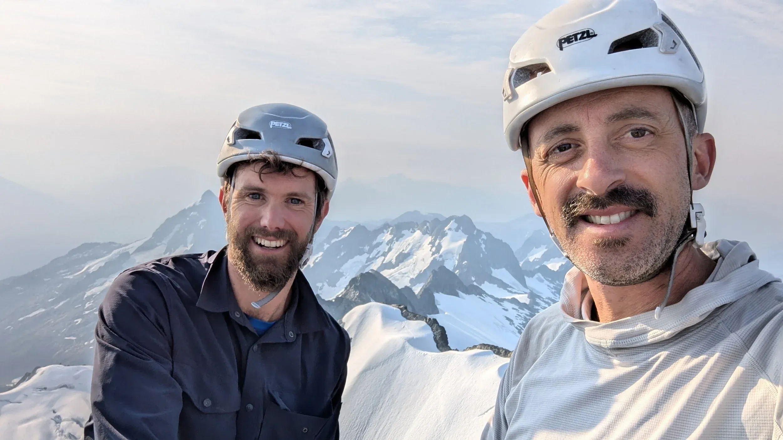
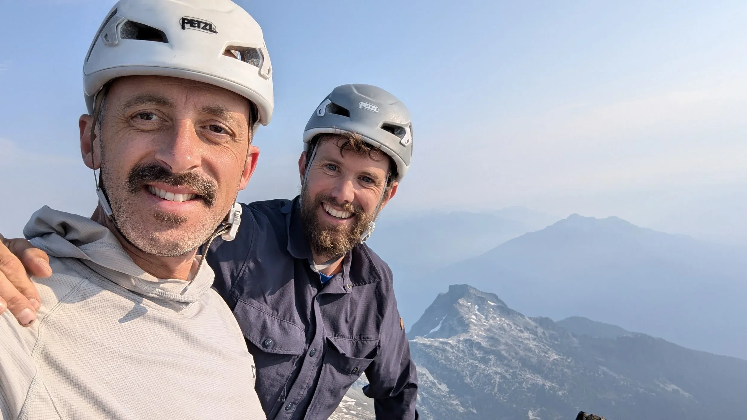
Incredible views from the summit in all directions, along with the elated feeling of accomplishment standing in a place you’ve gazed at admiringly for many years. We were treated to calm, beautiful weather, alongside the best cold pizza I’ve had the pleasure of eating courtesy of Chef Jem, who pulled out all the stops adding chicken and extra cheese to a frozen (then baked) Hawaiian pizza.
If that’s not the sign of a quality climbing partner, I don’t know what is.
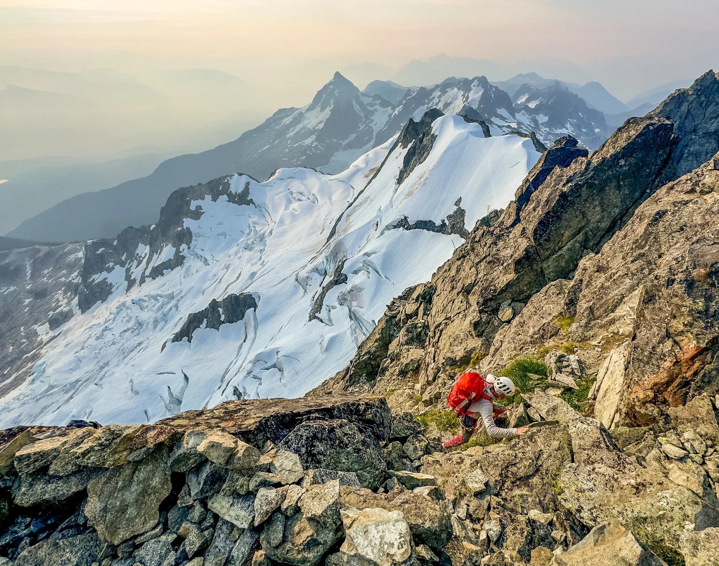
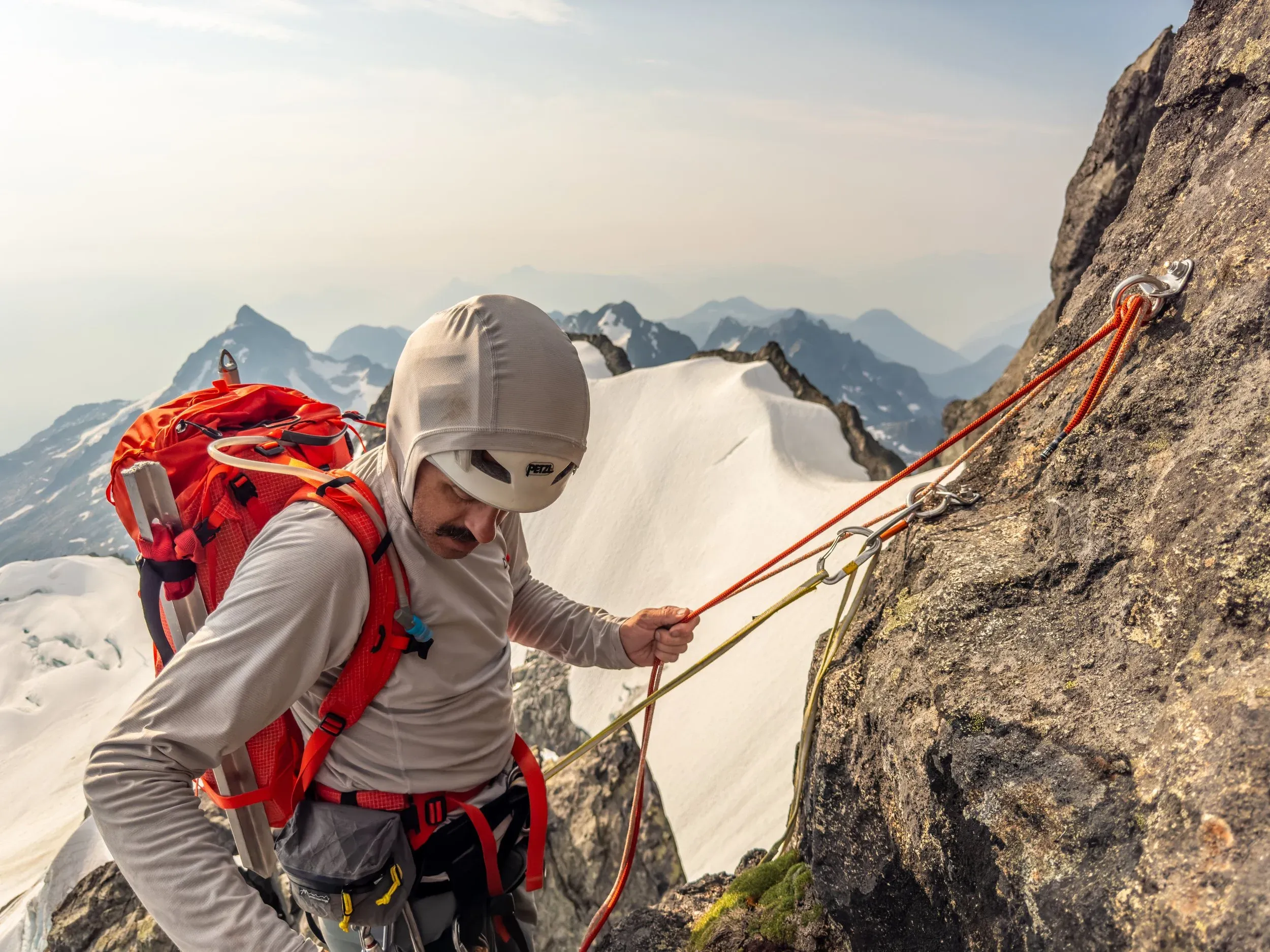
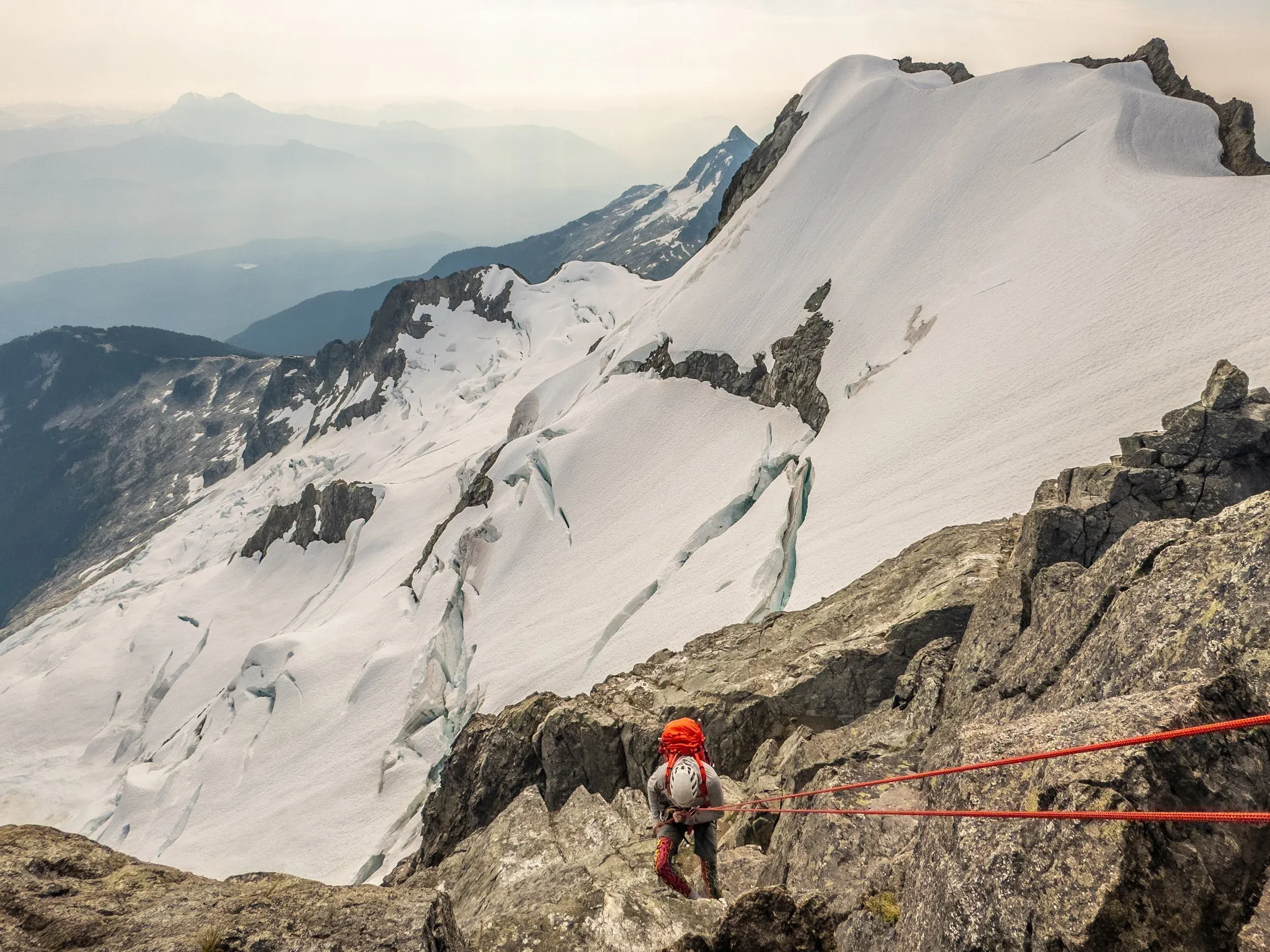
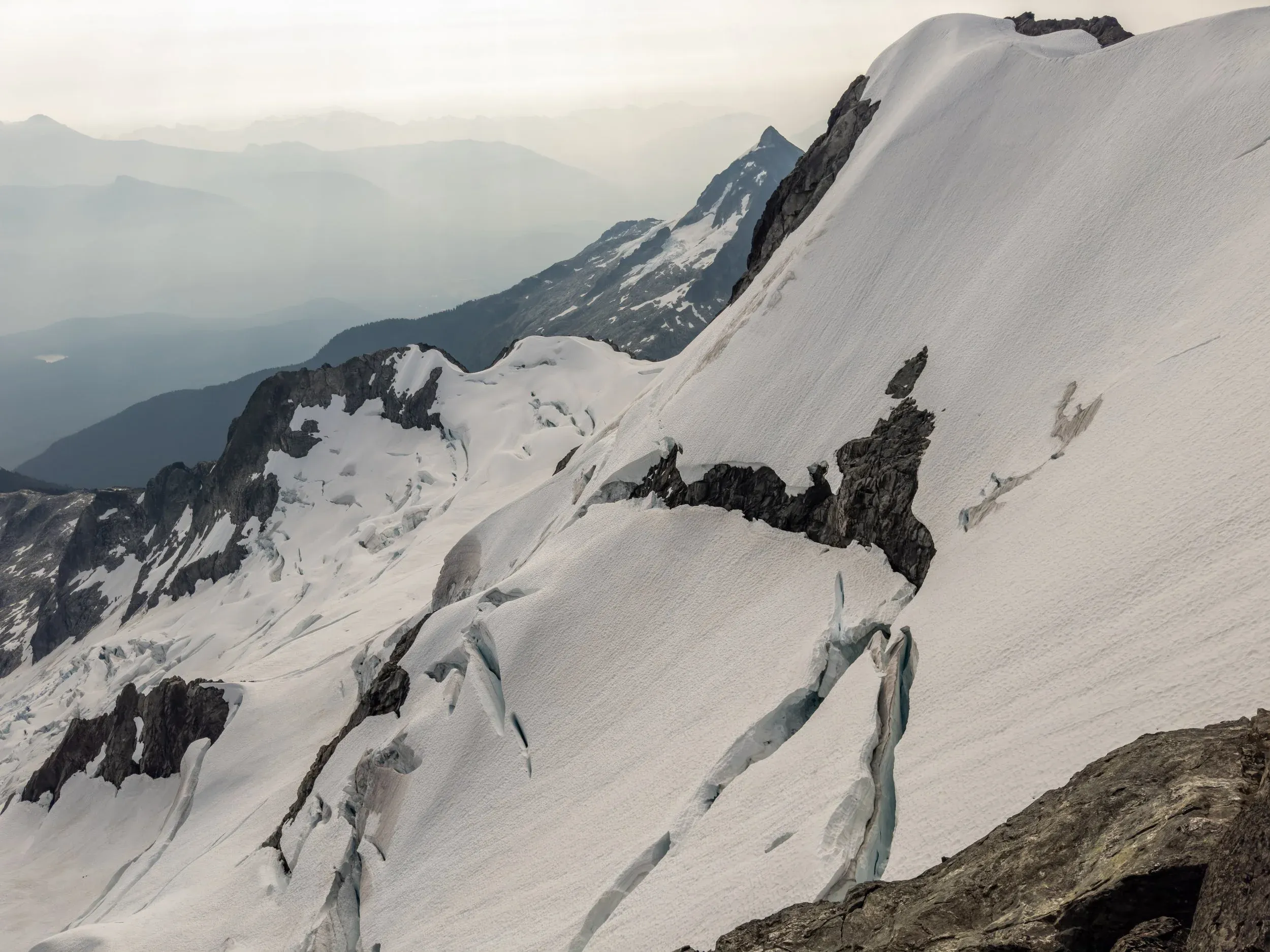
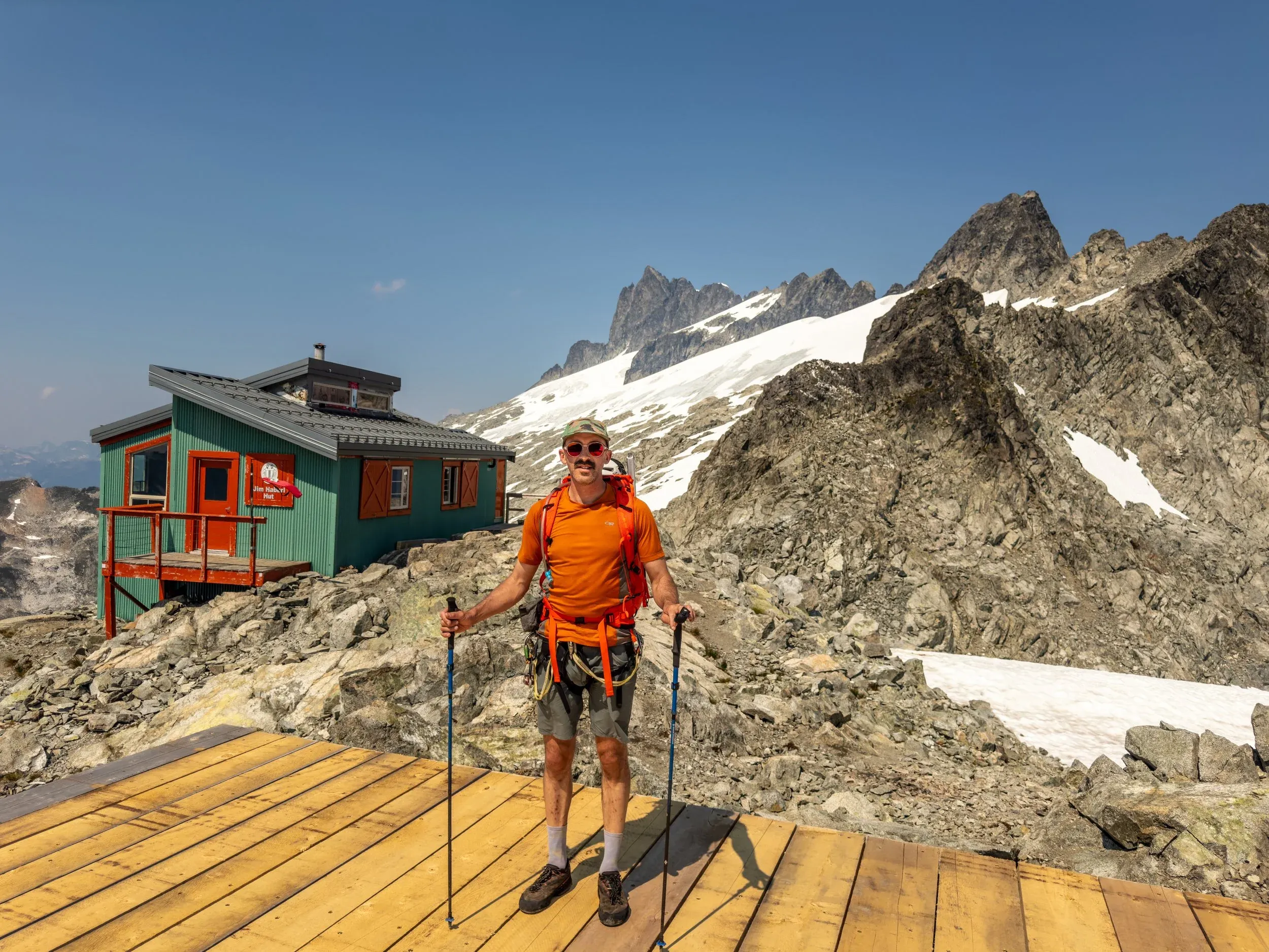
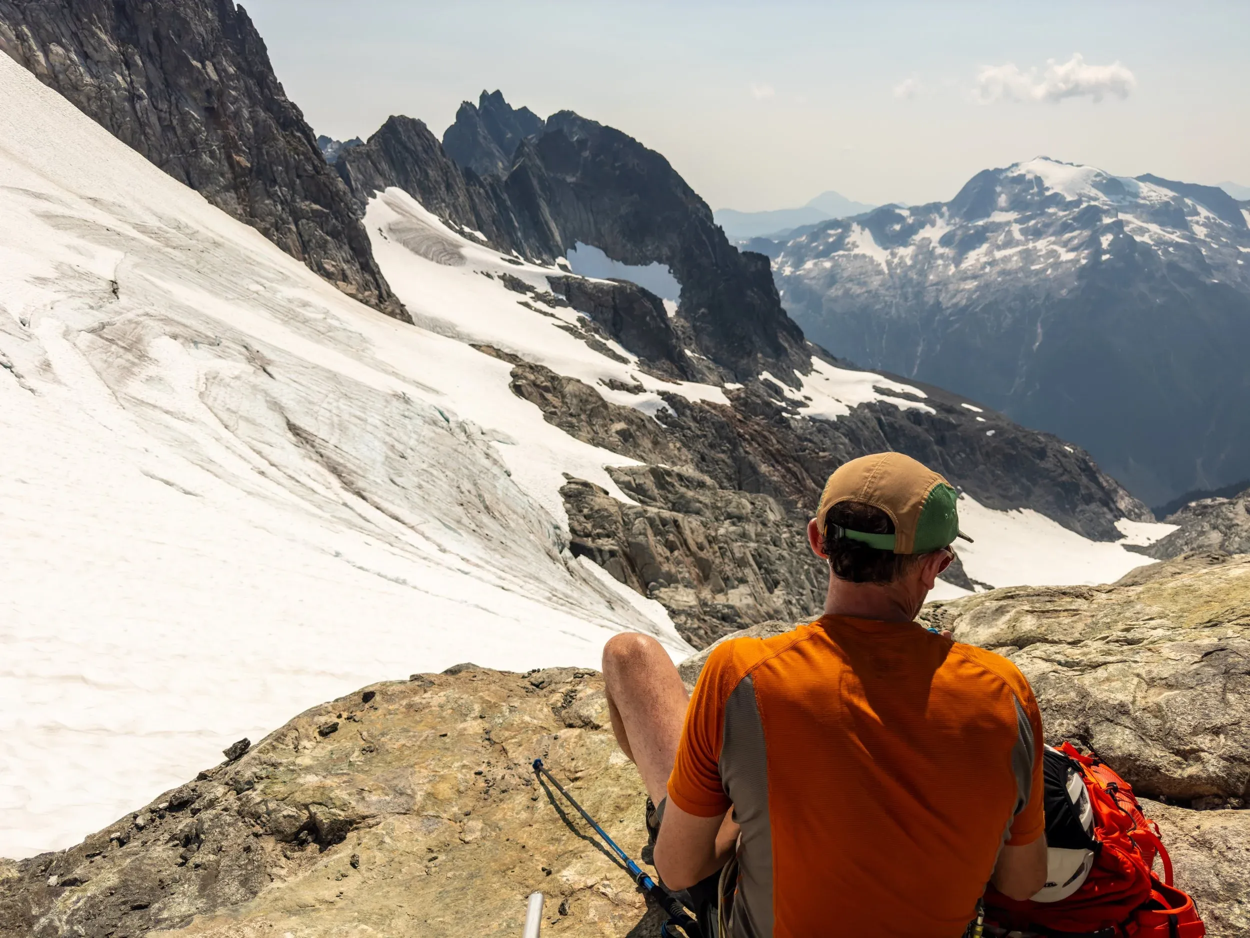
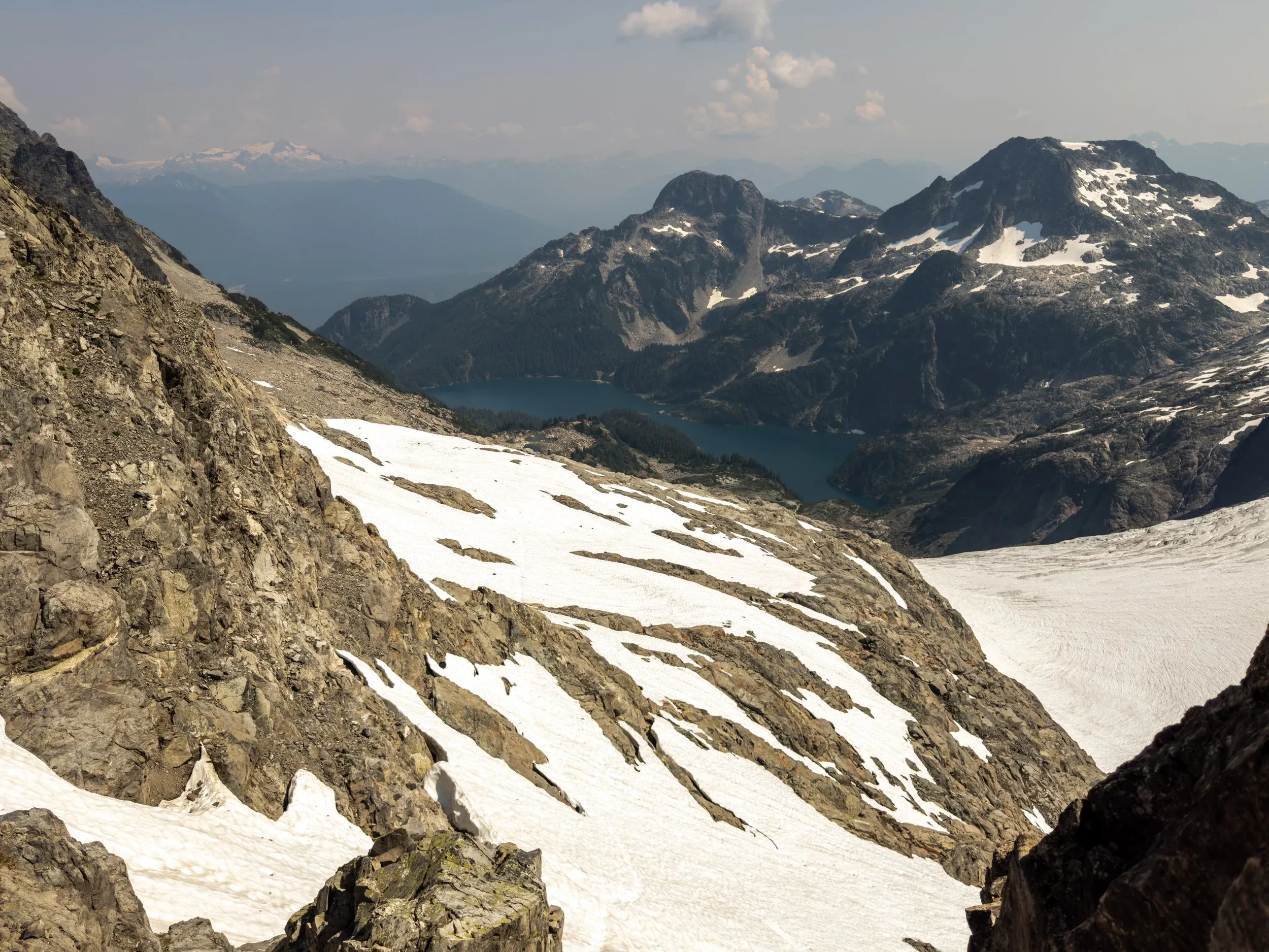
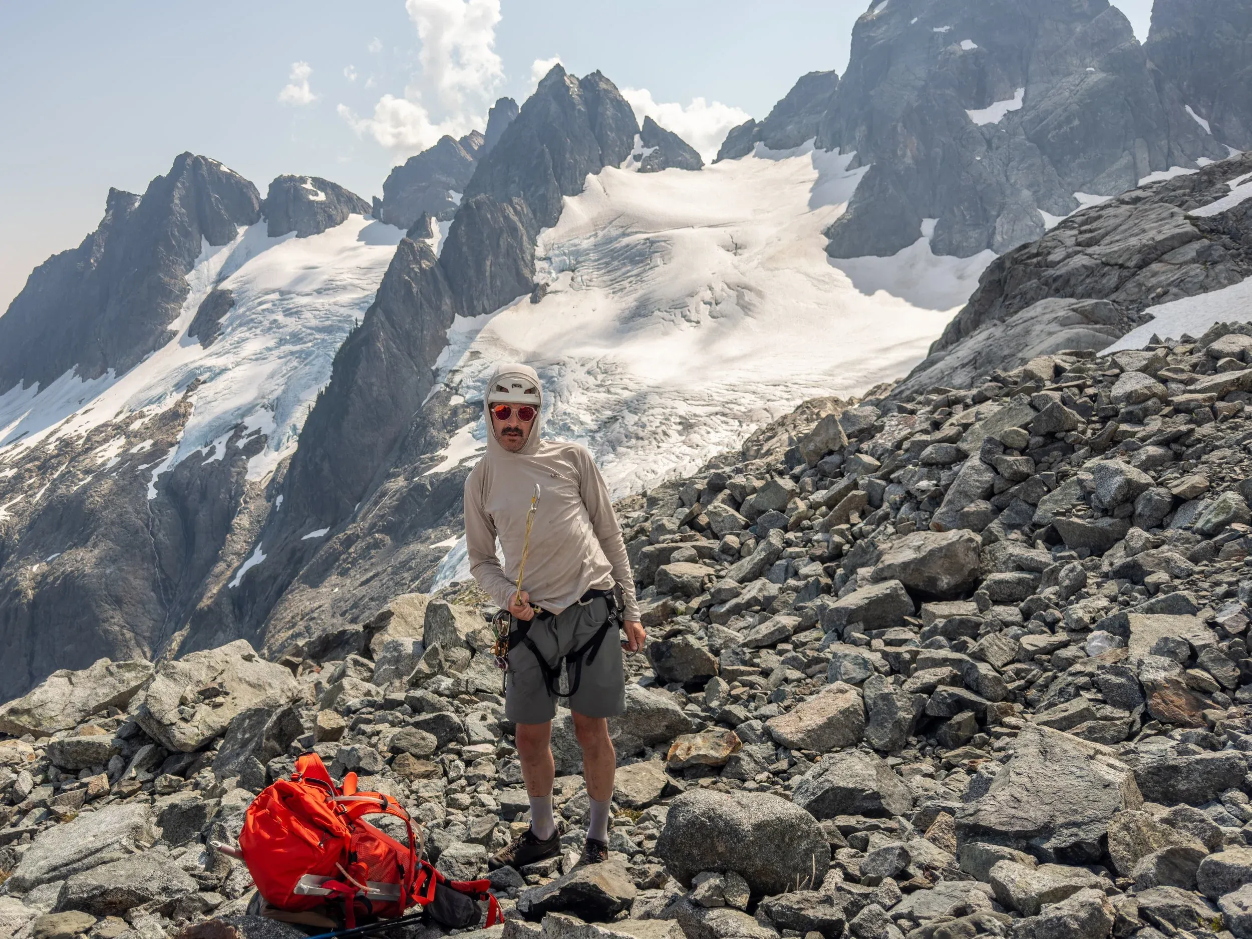
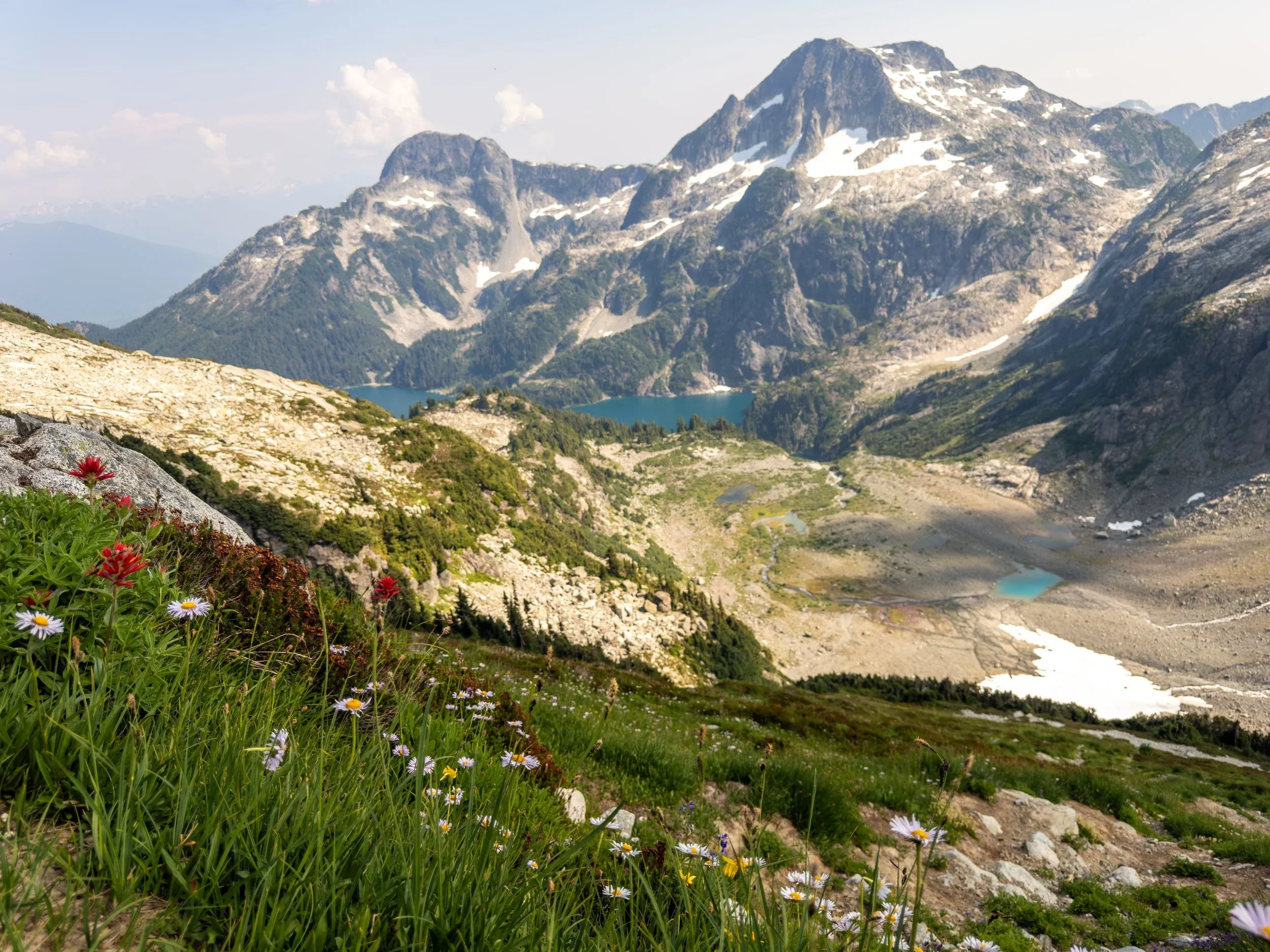
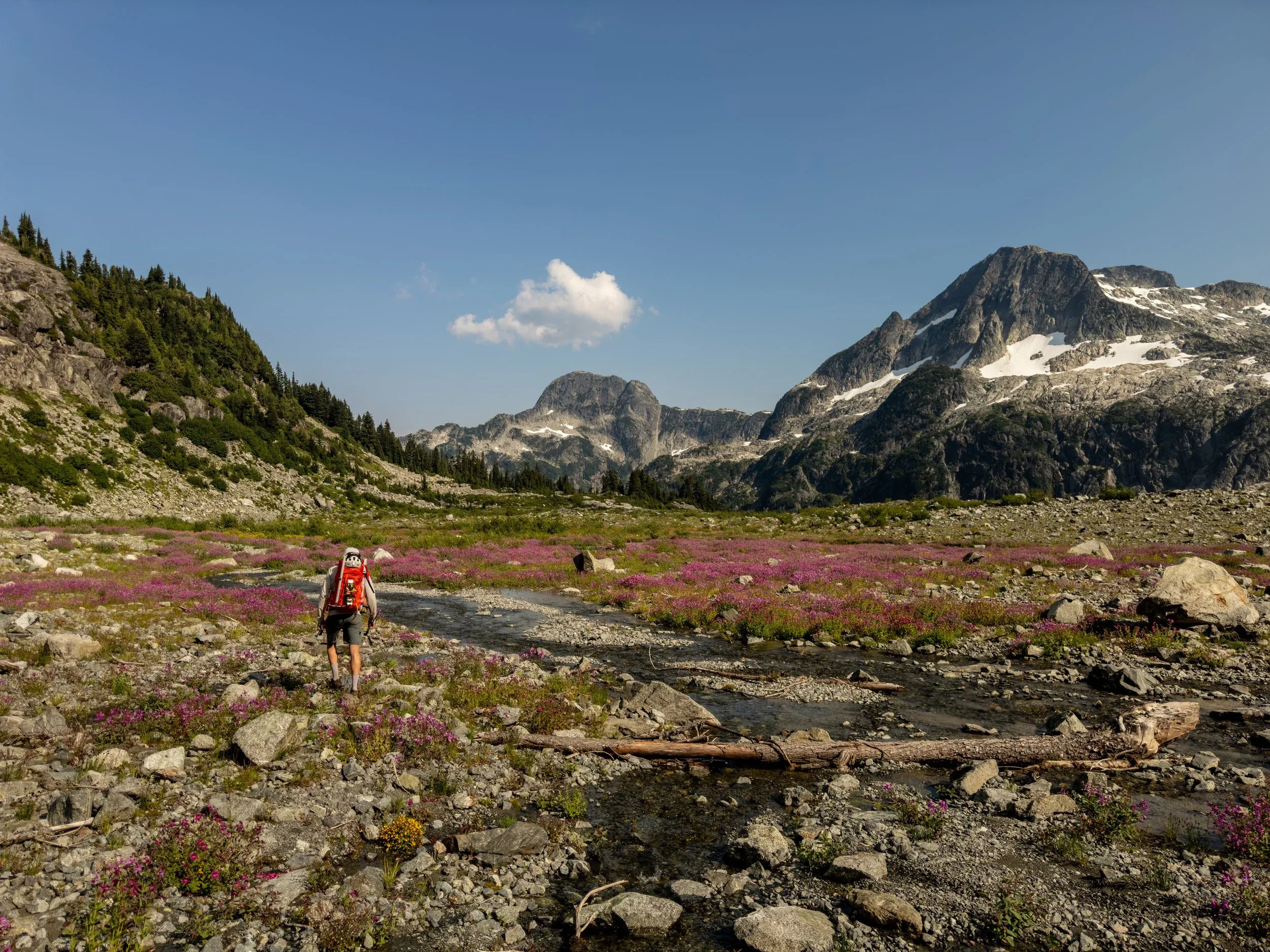
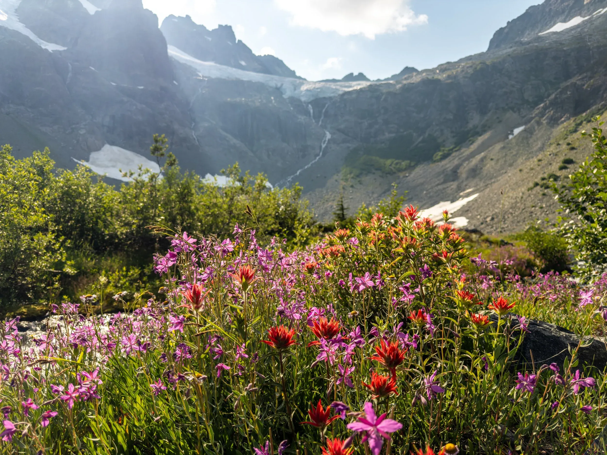
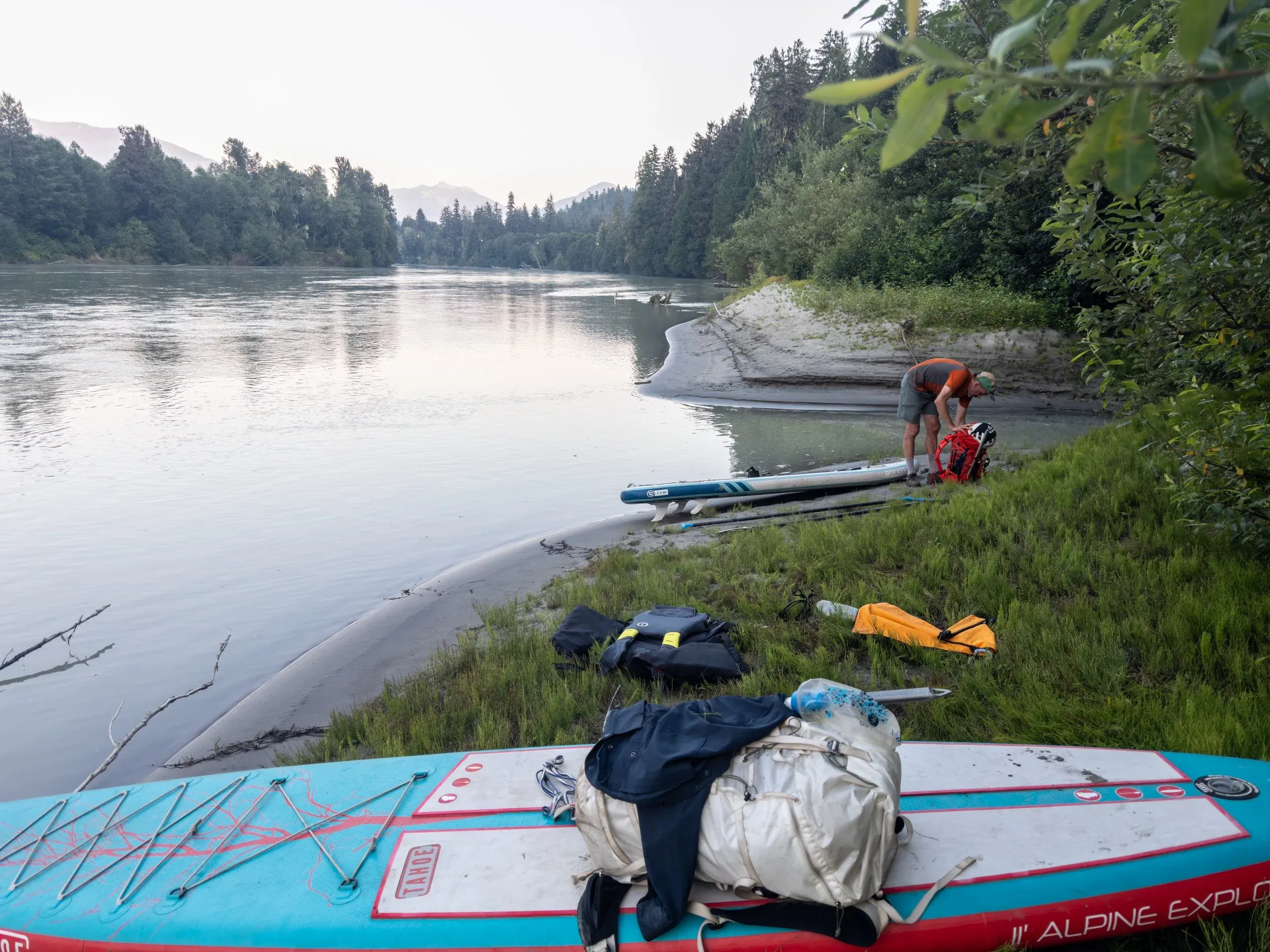
At this point we were very keen to keep to our plan of returning to our paddle boards at the Squamish River in time to float down the hour or so it takes to get to the Watershed Pub, to finish the trip in style. Arriving at Lake Lovely Water at 6pm, 12 hours after we started that morning, we moved quickly down the trail in a speedy hour and a half, getting to the boats at 730pm, and the Watershed before 9pm in time for well deserved burger and beers.